The Cartographer's Lament: Echoes of Eras Lost in Folds of Paper
There’s a particular scent that clings to vintage maps, a whisper of aged paper, dried ink, and the ghosts of journeys. It's more than just an odor; it’s a portal. Holding a map – a faded, hand-colored depiction of a world irrevocably changed – isn't merely possessing a piece of paper. It's cradling a fragment of history, a window into a worldview long gone, and sometimes, a profound, almost heartbreaking lament for what was lost. My own fascination with collecting vintage maps began unexpectedly, triggered by a chance encounter with a 17th-century map of the Dutch East Indies at a small antique shop in Amsterdam. The detail, the artistry, the sheer ambition of portraying a world so distant and mysterious – it captivated me instantly.
More Than Just Lines: The Cartographer's Perspective
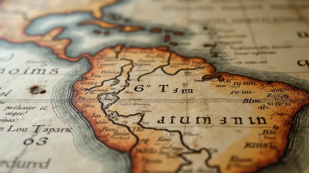
We often think of maps as objective representations of reality, but that's a fallacy, particularly when considering vintage maps. Cartography, at its core, is an act of interpretation. A mapmaker wasn't just recording geography; they were constructing a narrative. They were influenced by their own culture, their political allegiances, and the limited knowledge of their time. Think about the "Terra Incognita” – the “unknown lands” – that frequently adorned early maps. These weren't blank spaces born of a lack of exploration; they were often filled with fantastical creatures, mythical kingdoms, and projections of hopes and fears. What wasn't known was imagined, and what was imagined often reflected the anxieties of the era. Early cartographers frequently sought to chart the unknown, driven by a desire to understand and, in many cases, to claim. The very act of defining these unknown lands fueled a desire to understand how maps could both reveal and shape our perception of the world. This fascination with the unknown fueled a desire to expand our horizons, a theme explored in greater depth in articles about how maps inspire exploration and discovery.
Consider the Mercator projection, still widely used today. While undeniably useful for navigation, it dramatically distorts the size of landmasses, particularly those near the poles. This distortion wasn't a flaw; it was a consequence of the prioritization of navigational accuracy over spatial truth. What a statement about the values of the time – exploration and dominance prioritized above a balanced view of the world. Looking at a map of the world through a Mercator projection after becoming familiar with other projections allows you to deeply appreciate just how subjective even the most seemingly objective representations can be. The legacy of these projections, and the impact on our understanding of the globe’s true proportions, remains a powerful testament to the biases inherent in cartographic representation.
A Craft Lost to Time: The Artistry of Antique Maps
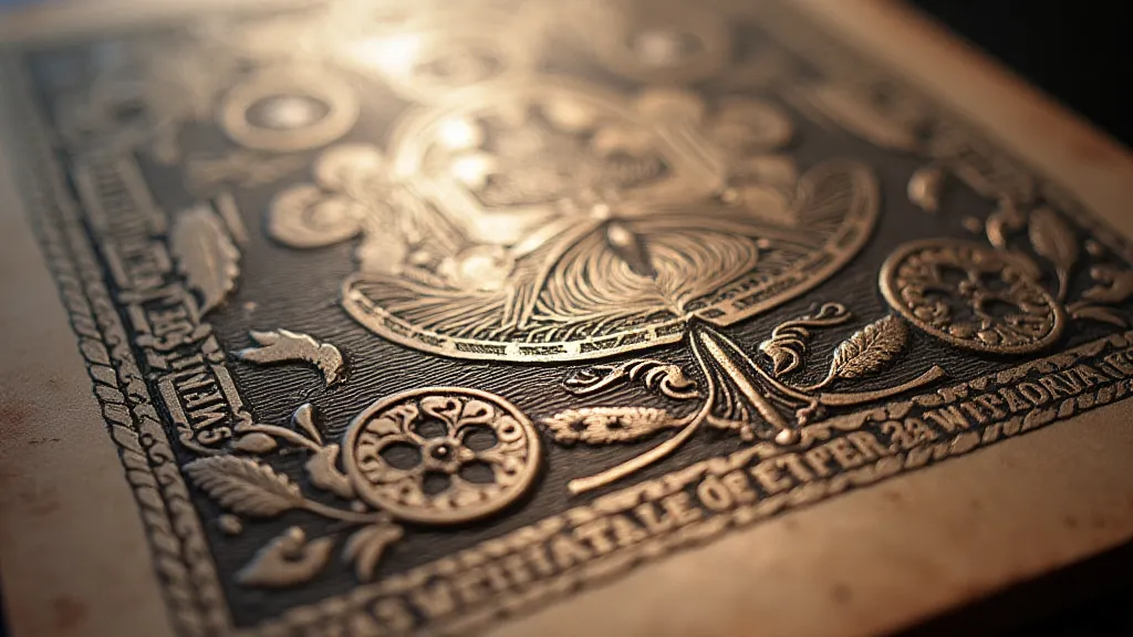
The creation of vintage maps was a laborious process, a testament to the dedication and skill of the cartographers and engravers. Before the advent of digital tools, everything was done by hand. Initial surveys were conducted, often dangerous expeditions into uncharted territories. These observations were then translated into detailed drawings, which were subsequently engraved onto copper plates. The engraver, a master craftsman in their own right, would meticulously recreate the cartographer's vision, capturing every contour, every settlement, every detail with astonishing precision. These copper plates were then used to create multiple impressions, each one a unique work of art. The nuances of these artistic choices are often revealed when examining the subtle color palettes and symbolic representations so often found on antique maps – a subject explored further in a study in color and symbolism.
The hand-coloring, often done by teams of skilled artisans, added another layer of beauty and detail. Colors weren't chosen arbitrarily; they were used to differentiate regions, to highlight important features, and to add a touch of aesthetic appeal. The pigments used – often derived from natural sources – have aged beautifully, imparting a warm, evocative tone to the maps. Imagine the countless hours spent, the painstaking attention to detail – a true labor of love, embedded within the paper itself. I have a particular fondness for maps printed by William Blaeu, the Dutch mapmaker. The vibrancy and richness of his hand-coloring is truly remarkable.
Whispers of Lives Lived: Connecting to the Human Story
Beyond the geographical accuracy and artistic merit, vintage maps resonate because they connect us to the human story. They offer glimpses into the lives of those who created them, those who used them, and those who were depicted upon them. Consider the names scrawled in faded ink on the margins – the signatures of merchants, explorers, and settlers. Imagine the journeys they embarked upon, guided by these very maps. Think of the families who relied on these maps to navigate new lands, to find their place in a vast and often unforgiving world. Each map is a testament to human ingenuity, courage, and resilience. The fragmented nature of some maps, those torn and damaged by time or circumstance, provides an even more poignant glimpse into the past – reflecting not just a geographical record, but the physical journey and enduring legacy of a piece of history. For those interested in the stories behind maps with imperfections, exploring the allure of torn and damaged vintage maps can be particularly illuminating.
I recently acquired a map of colonial Virginia, annotated with what appear to be the notations of a local landowner. The handwriting is elegant and precise, and the comments – detailing property boundaries, crop yields, and local events – offer a fascinating insight into the life of a colonial farmer. Holding that map, feeling the weight of its history, I felt a profound connection to that man, a kinship across centuries. These maps aren't just pieces of paper; they are echoes of voices long silenced, fragments of lives lived. The details included by previous owners often unlock hidden stories, and provide a chance to appreciate the care and attention put into preserving not only a geographical representation, but a significant record of human activity.
Preserving the Past: Caring for Vintage Maps
Collecting vintage maps is a rewarding pursuit, but it also comes with a responsibility. These maps are fragile artifacts, susceptible to damage from light, moisture, and handling. Proper storage is crucial. Ideally, maps should be stored flat, in acid-free folders or archival boxes, away from direct sunlight and extreme temperatures. Framing a map can be a beautiful way to display it, but it's important to use archival-quality materials and to avoid using glass, which can damage the paper over time. Handling maps with clean hands is also essential – the oils and acids on our skin can accelerate deterioration.
Restoration is a delicate process that should be undertaken by experienced professionals. Attempting to clean or repair a vintage map yourself can easily cause irreparable damage. There are specialized conservators who are trained in the art of preserving antique paper, and their expertise is invaluable. The subtle details revealed through careful examination, and the insights gained from interpreting marginalia, often inspire a deeper appreciation for the human element behind cartographic creations.
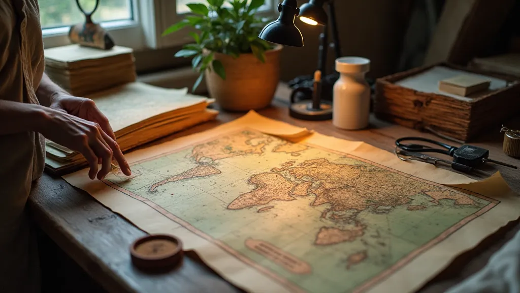
The cartographer’s lament isn’s a sound of despair, but a whisper of remembrance, a quiet plea to acknowledge the passage of time, the shifting landscapes, and the countless lives intertwined with the folds of these remarkable documents. It's a lament for a world changed, but also a celebration of the enduring power of human curiosity and artistry. And as I turn the brittle pages of another antique map, I'm reminded that I am not merely a collector; I am a custodian of stories, a guardian of history, and a privileged witness to the echoes of eras lost. The value of understanding and appreciating the origins of this history is immense, and a deeper look at the history of how maps have been recorded and preserved offers a glimpse into the world of the people who shaped our understanding of the globe. Examining the marginalia and notes found on these maps often provides a compelling glimpse into the daily lives of those who relied on them – a treasure trove of historical detail that rewards careful attention.
