The Cartographic Cipher: Deciphering the Language of Symbols
There’s a peculiar magic held within vintage maps. It’s not simply about the depiction of landmasses; it's a whisper from the past, a silent conversation between the cartographer and the potential traveler. Many modern maps rely on digital precision and easily understood iconography. But the maps of yesteryear? They speak a different language – a cartographic cipher composed of symbols, abbreviations, and idiosyncratic markings that require a degree of decryption to truly appreciate. This isn’t just collecting; it’s an archaeological dig into a world seen through the eyes of those who charted its contours centuries ago.
I remember the first time I felt this connection. I was helping my grandfather clean out his attic – a dusty wonderland of forgotten treasures. Amongst the chipped porcelain dolls and faded photographs, I unearthed a folded map of the Pacific Northwest from the early 1900s. The paper was brittle, the colors muted, but the intricate details... they captivated me. It wasn’t just a map; it was a portal to a time when exploration was a perilous and profound endeavor. My grandfather, a quiet man of few words, simply smiled and said, "They told stories, you know. Each mark had a meaning." That moment ignited a lifelong fascination with vintage maps and, specifically, the language they used.

The Building Blocks: Common Symbols & Abbreviations
Understanding vintage map symbols requires patience and a bit of detective work. Cartographers were rarely concerned with modern accessibility. Space was valuable, and brevity was king. The visual language developed organically over time, varying significantly between regions and cartographic schools. However, certain elements recur consistently. Let's break down some common building blocks.
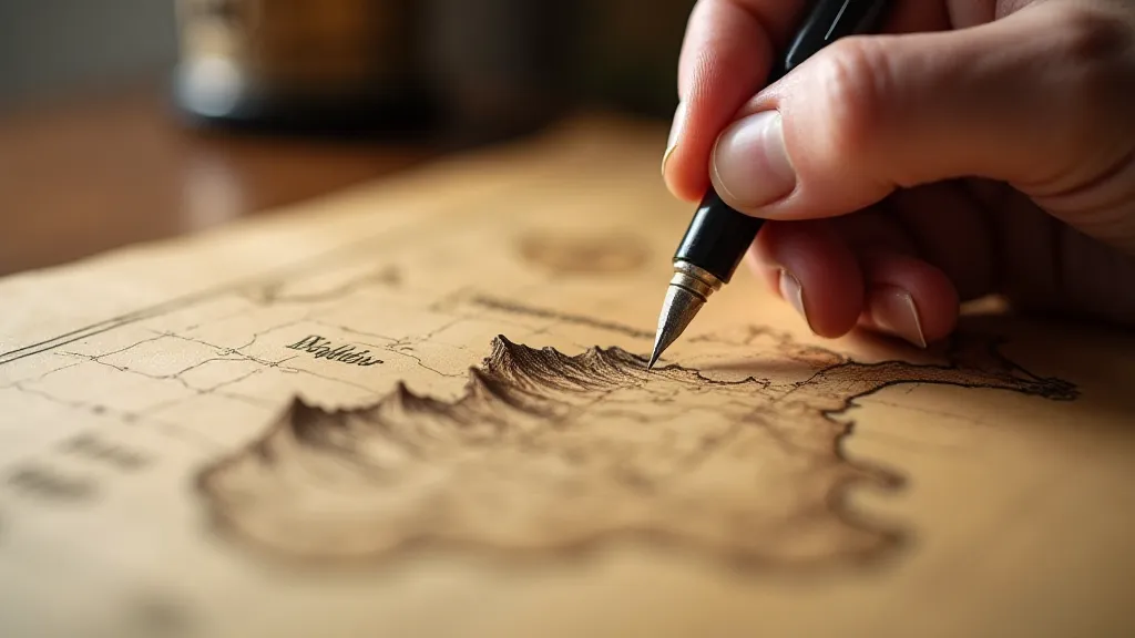
Coastlines & Depths: Early charts often employed hachures – short, parallel lines – to indicate coastal relief. The density of these lines suggested the steepness of the cliffs. Depths were typically shown using fathoms, a unit of measurement roughly equal to six feet. “fms” will often appear next to depth markings. Beware regional variations – a fathom in one area might not be exactly the same in another. Consider how these depictions shifted over time, sometimes reflecting a romanticized view of the coastline—a topic explored in greater detail in Whispers from the Coastline: Maps as Vessels of Maritime Tales.
Towns & Settlements: The size and style of town markers often conveyed information. Larger, more ornate symbols typically indicated important trading centers or administrative hubs. Smaller, less detailed markers signified smaller villages or hamlets. Look for abbreviations like "T" for Town, "V" for Village, and "C" for City. Sometimes a simple dot was all that was offered. These often represent places now lost to time or vastly different from their former selves.
Roads & Trails: Roads were frequently depicted with dashed or dotted lines, sometimes accompanied by the notation "Rd" or "Pth" (Path). The thickness of the line could indicate the quality of the road. Look out for notations like "toll rd" or "stage route" which speak to the transportation networks of the time. The very essence of these networks and their impact on communities is something worth considering – a perspective often missing from the simplified depictions on modern maps.
Geographical Features: Mountains were often represented by stylized cone shapes, sometimes shaded to indicate height. Rivers were shown with winding lines, and forests might be symbolized by clusters of small trees. Lakes and marshes often had distinctive hatching patterns.
Political Boundaries: Political boundaries were frequently marked with dashed lines or shaded areas, often accompanied by the names of the territories or kingdoms they represented. Understanding these boundaries can offer insights into the historical power dynamics of the region. The process of defining these often fluid and contested lines reflects a fascinating, and sometimes fraught, history.
Deciphering the Quirks: Regional Variations and Personal Markings
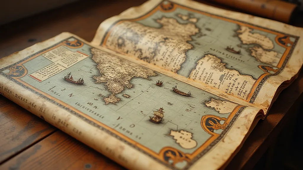
While some symbols enjoyed widespread use, regional cartographic traditions often introduced unique quirks. Dutch sea charts, for example, might use different symbols for shoals and sandbanks than English charts. Spanish maps of the Americas were particularly inventive, often incorporating indigenous place names and symbols. These nuances are part of what makes collecting vintage maps so rewarding – each map represents a unique snapshot of a specific time and place.
Beyond the standard symbols, be on the lookout for personal markings. Many maps bear the annotations of previous owners - notes about routes, distances, or observations about the landscape. These marks, even if seemingly insignificant, can provide valuable clues about the map’s history and its significance to its previous owners. I once acquired a map of Ireland with handwritten notes in the margin detailing local folklore associated with various locations – a remarkable connection to a bygone era. These silent echoes of previous explorers – their frustrations, discoveries, and perspectives—contribute significantly to a map's rich history. The stories held within these markings can feel almost tangible, hinting at a world that has vanished, and that’s beautifully examined further in The Cartographer's Lament: Echoes of Eras Lost in Folds of Paper.

The Artistry and Evolution of Cartographic Color
It’s easy to overlook the artistry inherent in vintage maps. While modern mapping relies heavily on digital processes and standardized color palettes, older maps frequently employed vibrant hues derived from natural pigments. These colors weren't merely decorative; they often conveyed important information about topography, political boundaries, and even the relative importance of different regions. The choices made by cartographers—the specific colors used and their symbolic meaning—reveal a great deal about the values and priorities of the time. Moreover, the very methods of applying those colors – hand-painting, stenciling, and early printing techniques—add to the unique charm and character of these historical artifacts. The deliberate choices related to color, and their impact on perception, represents a fascinating journey through historical aesthetics.
Restoration & Preservation: Respecting the Past
When acquiring vintage maps, it’s crucial to consider their condition and preservation. While restoration can sometimes improve their appearance, it’s essential to approach it with caution and respect. Overzealous cleaning or repairs can damage the map and diminish its historical value. Generally, less is more. Addressing significant tears or losses with archival-quality paper and adhesive is often justifiable. However, leaving the map in its original, imperfect state preserves its authenticity and tells a more complete story.
Proper storage is equally important. Store your maps flat, away from direct sunlight and extreme temperatures. Archival sleeves and folders will protect them from dust, humidity, and handling damage. Handling them as little as possible is the key to long-term preservation.
The Enduring Appeal: More Than Just a Piece of Paper
Collecting vintage maps is more than just acquiring a piece of paper; it’s an immersive journey into the past. It's about understanding the mindset of those who explored and mapped the world, appreciating the artistry and craftsmanship involved in their creation, and connecting with the history they represent. The cartographic cipher, once deciphered, unlocks a richer and more meaningful understanding of these remarkable artifacts. The details—the careful placement of symbols, the handwritten notes, the subtle nuances of the cartographic style—speak volumes about the world as it was, offering a tangible link to generations past.
Consider the effort involved. These maps weren't created with the ease of digital tools. They were painstakingly crafted by hand, often based on limited and unreliable information. Each symbol and abbreviation is a testament to the ingenuity and resourcefulness of the cartographer. And that's what draws me back, time and again – the enduring appeal of a world seen through the eyes of those who dared to chart its unknown corners. It’s a testament to how perception shapes our understanding of the world, and that is explored in greater detail within The Cartographer's Palette: A Study in Color and Symbolism, which discusses the impact of artistic choices and limitations in the world of vintage cartography.

Finally, the very process of creating these maps – the combination of scientific observation, artistic expression, and political considerations – reveals much about the complex interplay of human endeavors. It's a journey of discovery, not just of the physical world, but also of the human spirit. It is a process that reveals how much the perspective of cartographers shaped our understanding of the past, and how we continue to use them to navigate not only the world around us, but the world of our collective human history.
The legacy of these forgotten cartographers serves as a reminder that every map is more than just a guide; it’s a story, an artifact, and a portal to another time.


