The Cartographer's Palette: A Study in Color and Symbolism
There's a certain magic to holding a vintage map. It's more than just paper and ink; it's a window into a past where the world was understood differently, where exploration was fraught with danger, and where artistry intertwined inextricably with the pursuit of knowledge. While many collectors focus on the geographic accuracy – or lack thereof – of these treasures, I’m drawn to something deeper: the story told through color and symbolism, the cartographer’s palette, if you will. It’s a world of faded hues and carefully rendered icons, each imbued with intention and reflecting the prevailing attitudes of the time.
My own fascination began with a small, hand-colored map of the Dutch East Indies, a gift from my grandfather, a retired history professor. He didn’t talk much about it, simply handed it over with a knowing smile, leaving me to decipher its secrets. The vibrant green of the jungles, the deep blue of the surrounding sea, the precise rendering of even the smallest villages – it felt like a living document, a tangible connection to an era I'd only read about in books. That map wasn't about precise longitude and latitude; it was about conveying a sense of place, of projecting power, of inspiring awe.
The Language of Color
The use of color in vintage maps wasn't arbitrary. It was a complex system of communication, often tied to prevailing beliefs and anxieties. Consider the common depiction of the ocean. Early maps often rendered it as a monstrous, unpredictable force, using menacing shades of dark blue or even black to represent the perils of the unknown. The color wasn't just aesthetic; it was a warning. As exploration continued and maritime technology improved, the sea gradually transformed on maps – shifting to lighter blues, representing increased understanding and, perhaps, a growing sense of mastery over nature.
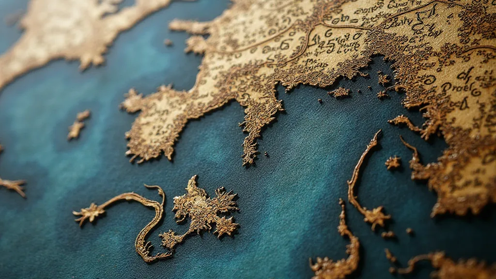
Similarly, the coloration of landmasses often reflected a nation’s ambitions and perceptions. Dutch maps, for instance, often highlighted areas under their control or of strategic importance in warm, inviting tones, while regions deemed less desirable or dangerous were shaded in cooler, more muted colors. The symbolic use of gold was particularly potent, frequently used to denote areas rich in resources or to glorify a nation's imperial claims. The colors weren’t always consistent, of course, as different cartographers employed their own artistic license and were influenced by the evolving knowledge of the world. It’s a fascinating reflection of how our understanding of geography is shaped not just by observation, but by deeply held cultural assumptions. Sometimes, the absence of a place is just as telling; areas deliberately omitted from maps, or rendered in a way that diminishes their significance, speak volumes about historical power dynamics, as explored in detail within articles discussing places lost to the shifting sands of history.
Symbolism: More Than Just Dots and Lines
Beyond color, the symbolic representations on vintage maps offer a fascinating glimpse into the cultural and scientific understanding of the time. Mountains, for example, were rarely depicted realistically. Instead, they were often represented as stylized peaks, sometimes adorned with intricate details or even fantastical creatures. These weren’t just topographical markers; they were symbols of grandeur, of the challenges inherent in exploration, and perhaps even of the divine. The subtle details and hidden meanings woven into these depictions often require careful study and interpretation, and sometimes the very act of omission tells a story about what a cartographer chose to highlight or obscure.
Cities were often represented by heraldic shields or intricately drawn coats of arms, reflecting their political importance and historical significance. The size and prominence of a city’s representation weren't always proportional to its actual size; they were often dictated by its political clout or its role in trade. Rivers were frequently shown with a slight curve, even if they flowed straight in reality, adding a touch of artistic flourish and creating a more visually appealing composition. Even seemingly insignificant details, like the depiction of livestock or agricultural practices, could reveal much about the economy and social structure of a region. The marginalia – the annotations and notes scribbled along the borders of these maps – often hold their own secrets, requiring a trained eye to decipher their meaning. Considering those subtle inscriptions and their context is akin to uncovering hidden whispers from the past, a fascinating exercise explored further in accounts uncovering the secrets hidden within cartographic annotations.
The Cartographer’s Craft: A Marriage of Art and Science
Creating a vintage map was a labor of love, a painstaking process that demanded both scientific knowledge and artistic skill. Cartographers weren't just copying information from other sources; they were synthesizing data from various sources – explorers’ accounts, astronomical observations, and local knowledge – and transforming it into a visually coherent and informative representation of the world. Their perspectives were often filtered through the prevailing ideologies of their time, leading to maps that were as much statements of belief as they were representations of geography.
Many vintage maps were hand-colored, a process that involved skilled artisans who meticulously applied pigments to the printed surface. This hand-coloring adds another layer of artistry and uniqueness to each map. The slight variations in color and shading, the occasional smudge or imperfection – these aren't flaws; they're evidence of the human hand at work, adding character and charm to the map.
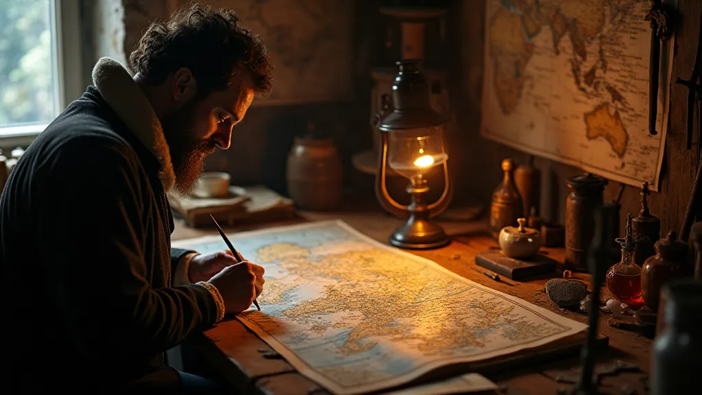
The materials used were equally important. Fine parchment or thick paper provided the foundation for these works of art. The inks, often made from natural pigments and resins, had a vibrancy and depth that is rarely seen in modern reproductions. The enduring quality of these materials is a testament to the skill and care that went into their creation.
Collecting with Appreciation: Beyond the Price Tag
Collecting vintage maps isn't just about acquiring valuable objects; it's about connecting with history, appreciating artistry, and understanding a different way of seeing the world. It’s about recognizing the human effort and ingenuity that went into creating these remarkable documents. The lens through which a cartographer viewed the world—their biases, assumptions, and intended audience—profoundly shaped the final product. Modern interpretations of these historical views often challenge long-held beliefs and expose the inherent subjectivity of cartographic representation, a perspective examined thoughtfully in articles that reinterpret historical maps through modern eyes.
While condition and rarity certainly influence a map’s value, it’s the artistic merit and the historical significance that truly captivate a collector. A slightly faded color, a small tear, or a crease – these aren't detractments; they're marks of time, evidence of a map’s journey through history. They tell a story that a pristine, flawless reproduction simply can’t convey.
Restoration, when considered, should be approached with utmost care and respect for the map's integrity. Overzealous cleaning or the use of modern materials can erase the map's character and diminish its historical value. The goal should be to stabilize the map and preserve its existing features, not to make it appear brand new. The legacy embedded in these maps extends beyond the purely geographic; they are reflections of empire, trade, and the human desire to understand and control the world. This is a complex interplay of power and representation, deeply intertwined with colonialism, and the impact of these historical maps continues to resonate in our present-day world, as explored extensively in accounts unraveling colonial legacies etched on old maps.
Ultimately, collecting vintage maps is a deeply personal journey – a quest to unravel the stories hidden within these remarkable artifacts. It's a chance to hold a piece of history in your hands and to appreciate the enduring power of cartography as both a science and an art.
