Longitude's Shadow: The Imperfect Truths Behind Map Projections
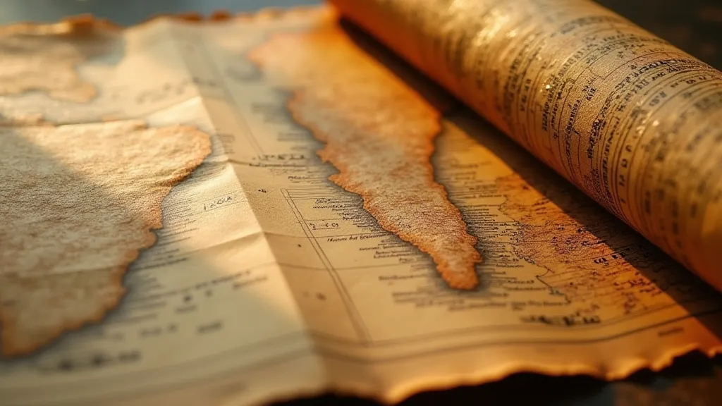
The scent of aged paper, the delicate crackle as it unfolds – these are the sensory hallmarks of a vintage map. For me, they evoke more than just a love of cartography; they whisper of explorers charting unknown waters, of empires drawn and redrawn, and of the enduring human desire to understand and represent our world. It's a pursuit that feels intrinsically linked to an older, more deliberate pace of life. I often think of antique accordions – the painstaking craftsmanship required to build them, the intimate connection between player and instrument, the way they physically breathe and change the sound. A vintage map, in its own way, is like that. It's not just a flat surface; it's a record of a moment, a perspective, a compromise.
The Challenge of Rendering a Sphere on a Flat Surface
We take maps for granted. They’re ubiquitous – guiding us through cities, showing us the relative positions of countries, illustrating weather patterns. But rarely do we stop to consider the fundamental problem that underlies their creation: how to accurately represent a three-dimensional sphere on a two-dimensional plane. It’s an impossible task. Any attempt to flatten the globe necessitates distortion. The question isn't *if* a map distorts; it’s *how* it distorts, and what compromises are made in the process.
Imagine trying to peel an orange and lay it flat without tearing or stretching the skin. It’s almost impossible. The same principle applies to map projections. Early cartographers wrestled with this dilemma, experimenting with different techniques to minimize distortion in specific areas of interest. Mercator, Gall-Peters, Winkel Tripel – each projection is a different solution, prioritizing certain properties at the expense of others. The artistic liberty taken in these early attempts occasionally led to fantastical depictions, blurring the lines between geographic accuracy and imaginative flourish, sparking a fascination that extends to the surreal world of the geography of dreams, where imagination redefines familiar landscapes.
Mercator's Legacy: The World Distorted by Trade
The Mercator projection, developed in 1569 by Gerardus Mercator, is perhaps the most well-known. Created for navigational purposes, it preserves angles, making it invaluable for sailors plotting courses. This angular conformity, however, comes at a steep price. Areas are wildly misrepresented. Greenland, for example, appears far larger than it actually is, dwarfing even Africa. This visual trickery, perpetuated for centuries, inadvertently contributed to a skewed perception of the world, reinforcing colonial power dynamics.
My grandfather, a retired naval officer, used Mercator maps his entire career. He never questioned their accuracy, not in the literal sense. They served a practical purpose – they worked. It wasn't until later in life, after retirement, that he began to truly understand the subtle biases embedded within the projection. He’s started collecting antique maps now, particularly those predating the widespread adoption of the Mercator projection, fascinated by the different perspectives they offer. For him, it was less about precise geographic representation and more about charting a course, a theme beautifully echoed in how maps themselves inspire the promise of exploration and discovery. He often reflected on how these depictions, despite their inaccuracies, shaped understanding and fueled the desire for what lay beyond.
Beyond Mercator: A Kaleidoscope of Projections
The Mercator projection isn’s the only game in town. The Gall-Peters projection, for example, prioritizes preserving area. While it maintains accurate relative sizes of continents, it distorts shapes, making them appear stretched and unnatural. The Winkel Tripel projection, a compromise projection, attempts to minimize distortion overall, sacrificing some accuracy in both area and shape. And these are just a few examples; there are dozens of different map projections, each with its own unique characteristics and biases.
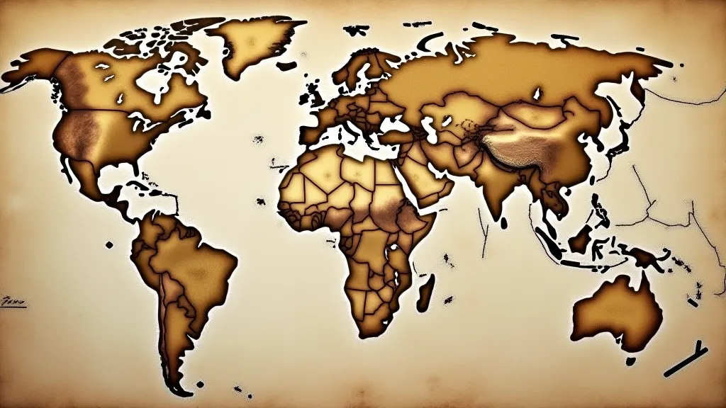
The choice of projection isn’t arbitrary. It’s driven by the purpose of the map. A map designed to showcase population density might use a projection that accurately preserves area. A map used for political boundaries might prioritize shape. Understanding the underlying projection is crucial for interpreting a map accurately and recognizing its limitations. Cartographers often had to make difficult choices, balancing the preservation of certain features with the inevitable trade-offs. This constant balancing act underlines the subjectivity inherent in mapmaking, and prompts deeper questions about the very nature of representation itself. The concept of borders, and how they’re represented, often leads to a fascinating consideration of how cultural exchange of ideas is interwoven with cartographic representation, challenging the notion of fixed and absolute boundaries.
The Craftsmanship of Cartography: A Lost Art?
Looking at antique maps, it's impossible not to appreciate the skill and artistry involved in their creation. Before the advent of digital cartography, maps were painstakingly drawn by hand, often based on limited and unreliable data. The process wasn't simply about accurately placing landmasses; it was a marriage of skill, artistry, and a deep understanding of the world. The detail, the intricate calligraphy, the carefully rendered coastlines – these are testaments to the dedication and expertise of the cartographers. You can almost feel their presence in the lines and shading. The paper itself, often handmade, adds another layer of character and historical significance. The process wasn’t just about depicting landmasses; it was about creating a tangible artifact, a testament to human ingenuity.
The techniques employed by these artisans are often lost to time, representing a rich legacy of knowledge and skill. The restoration of antique maps is an equally delicate process, requiring a deep understanding of paper conservation and a reverence for the original craftsmanship. It’s not about erasing the passage of time; it’s about stabilizing the paper, repairing tears, and ensuring the map’s long-term survival. A good restoration preserves the integrity of the original document, allowing future generations to appreciate its historical and artistic value. Considering the limited understanding of the world at the time, it’s remarkable how these maps captured a sense of place and possibility, inspiring a yearning for the unknown that transcended geographical boundaries. Even today, the beauty of a meticulously drawn map can evoke a sense of wonder and discovery.
Collecting Vintage Maps: A Window to the Past
Collecting vintage maps isn’t just about acquiring beautiful objects; it’s about connecting with history, understanding different perspectives, and appreciating the evolution of our understanding of the world. Each map tells a story – the story of exploration, of empire, of shifting political boundaries, and of changing perceptions. And the more you learn about the cartography behind these maps, the richer and more rewarding the collecting experience becomes. The act of collecting itself becomes a journey of discovery, a continuous unraveling of historical narratives and cartographic techniques.
When acquiring vintage maps, consider not just the visual appeal but also the historical context and the projection used. A map of the Americas from the 17th century, for example, will reflect the European understanding (or lack thereof) of the continent at that time. Examining the cartographer’s embellishments and the symbols used can provide valuable insights into the cultural attitudes of the era. It’s a fascinating exercise in deciphering not just geography, but also the biases and aspirations of a particular moment in history. This pursuit often reveals how our perception of the world has been shaped by those who have documented it, highlighting the subjectivity inherent in any attempt to represent reality. The enduring fascination with cartography and its imperfections is a testament to our ongoing quest for understanding our place in the vastness of the globe. And it's a pursuit that rewards patience, curiosity, and a willingness to embrace the beauty of imperfection.
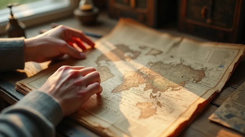
The stories etched into these antique paper treasures often reveal more than just geographical details—they uncover the hopes, fears, and biases that shaped human understanding. For those seeking to expand their understanding of these narratives, exploring fragmented worlds can provide further insights into the complexities of cultural representation and historical context. The echoes of past explorations resonate through the delicate lines and faded colors of these maps, inviting us to contemplate the enduring human desire to chart the unknown.
The pursuit of collecting vintage maps is a journey of discovery – a continuous unraveling of historical narratives and cartographic techniques. It's a field where aesthetics and intellect intertwine, revealing the imperfect truths behind our representations of the world. Like the faint echo of an accordion's melody, vintage maps resonate with a past that continues to shape our present. The act of unfolding one is like stepping back in time, offering a tangible link to a bygone era, revealing the inherent subjectivity that has always colored our perception of the world. The pursuit itself becomes a journey, a constant unraveling of the intricate tapestry of history and cartography, a pursuit that invites us to question what we think we know and to appreciate the beauty of imperfection.
