Beyond the Borders: Mapping the Cultural Exchange of Ideas
There's a quiet magic in holding a vintage map. More than just lines depicting terrain and settlements, they are tangible echoes of ambition, discovery, and sometimes, misunderstanding. As a collector of vintage maps, I've found myself increasingly drawn not just to the beauty of their artistry, but to the stories they silently tell – stories of cultural exchange, of the shifting sands of power, and the complex interplay between geography and human endeavor. It's a privilege, really, to be a custodian of these historical artifacts.
Imagine, if you will, the hands that originally unfolded a map like the Ortelius world map of 1570. Picture the explorer, carefully charting a course based on its imperfect renderings. Or the merchant, plotting trade routes across unfamiliar seas. These maps weren’t merely tools; they were portals to other worlds, fueling dreams and justifying actions, both noble and devastating.
The Map as a Mirror of Understanding (and Misunderstanding)
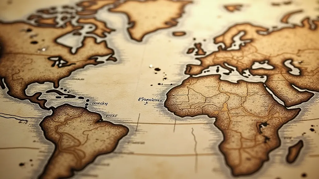
Cartography wasn't always a purely scientific pursuit. Early maps were often imbued with the prevailing beliefs and prejudices of their creators. Consider the Fra Mauro map of 1450, a stunningly detailed representation of the world as it was understood in the mid-15th century. While remarkably accurate for its time, it also reflects the biases of its creator, portraying Jerusalem as the center of the world – a testament to the dominant religious perspective. Similarly, many early maps of the Americas were fanciful, incorporating mythical creatures and distorted landscapes, reflecting European anxieties and a lack of reliable information. The creative liberties taken by cartographers, often blurring the line between reality and imagination, demonstrate how even a seemingly objective representation of space can be a canvas for cultural narratives.
The exchange of maps themselves was a vital component of cultural exchange. The Silk Road wasn’t just a conduit for silk and spices; it was a highway for ideas, and maps were crucial in facilitating that flow. Arab cartographers, for instance, were significantly more advanced in their understanding of astronomy and geography than Europeans during the Middle Ages, and their maps – often derived from ancient Greek sources – gradually made their way west, influencing European cartography. The Portuguese, driven by the desire to find a sea route to the East, meticulously documented their explorations, creating detailed maps of the African coast and the Indian Ocean – knowledge that would profoundly shape global trade and colonial expansion. The vibrant colors used to represent regions and resources highlight a fascinating layer of cultural symbolism – a subject deeply explored in the world of the Cartographer's Palette: A Study in Color and Symbolism.
The Craftsmanship: More Than Just Lines on Paper
Beyond the historical significance, the craftsmanship of vintage maps is truly remarkable. These weren't printed by the digital presses we know today. They were painstakingly created by hand, often using techniques passed down through generations of skilled artisans. The meticulous engraving, the vibrant hand-coloring, the quality of the paper – all speak to a level of dedication and artistry that is rarely seen in modern reproductions.
Take, for instance, the maps produced by the Ortelius publishing house in Antwerp during the 16th century. These were not just beautiful objects; they were a significant commercial enterprise. Ortelius employed a network of engravers and artists, and his atlases were eagerly sought after by scholars, merchants, and nobility throughout Europe. The detail in these maps – the depictions of ships, cities, and landscapes – is astonishing, a testament to the skill of the artists involved. Often, the coloring itself would tell a story - using specific hues to represent important resources or political boundaries. The creative license applied during the rendering of these early maps can be viewed as an early form of imaginative cartography, an idea that resonates with the concept of Paper Constellations: Mapping the Universe of Imagination.
Navigating the Challenges of Preservation
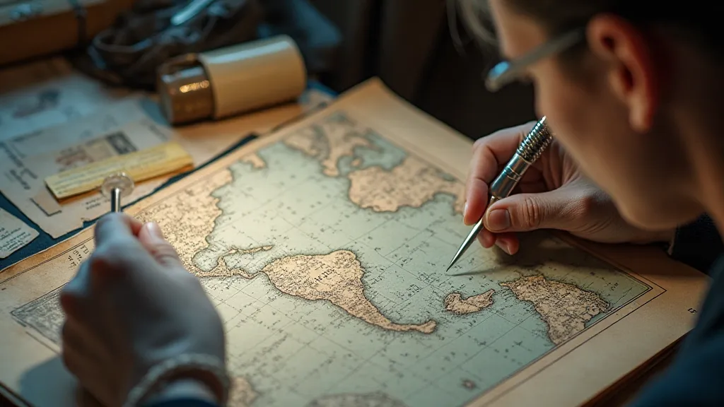
Owning a piece of history comes with a responsibility. Vintage maps are fragile, susceptible to damage from light, moisture, and handling. Proper storage is crucial. I’m always careful to store my collection flat, away from direct sunlight, and in acid-free folders. The paper itself can become brittle over time, and restoration, while sometimes necessary, is a delicate process best left to experienced professionals. A little research into the paper type (laid, wove, etc.) and inks used can also provide insights into the map's age and provenance – and potential restoration challenges.
The Personal Connection: More Than Just an Investment
While vintage maps can certainly be a valuable investment – prices for rare and significant examples can reach staggering sums – my passion for them stems from something deeper. It’s a fascination with the history they represent, the stories they tell, and the human ingenuity that brought them into existence. Holding a 17th-century map of the Dutch East Indies, knowing that it guided ships laden with spices and textiles across vast oceans, evokes a profound sense of connection to the past.
I remember finding a small, hand-drawn map of the Ottoman Empire in a dusty antique shop in Istanbul. It wasn’t a particularly valuable piece, but it spoke volumes about the region’s history and the intricate relationships between empires. It now holds a place of honor in my collection, a tangible reminder of a journey to a land steeped in history and culture. These maps provide a remarkable portal into understanding how different cultures perceived and situated themselves in the world – a powerful link to the past that shapes our understanding of place itself, ideas further explored in Compass Points of Memory: How Maps Shape Our Sense of Place.
Looking Ahead: The Future of Cartographic History
The field of cartographic history is constantly evolving, with new discoveries and interpretations emerging all the time. Digital technologies are also playing an increasingly important role, allowing scholars to analyze maps in unprecedented detail and to share them with a wider audience. Online archives and databases are making it easier than ever to access rare and historical maps, opening up new avenues for research and appreciation. The expanding accessibility of these historical documents allows for a deeper understanding of how cultural perceptions have shaped the visual representations of our world.
For those just beginning to explore the world of vintage maps, I recommend starting with a focused area of interest – perhaps a specific region, a particular era, or a specific cartographer. There’s a vast and fascinating world to discover, a world that extends far beyond the lines on paper and delves into the very heart of human history and cultural exchange. And holding that tangible piece of the past in your hands is an experience unlike any other.
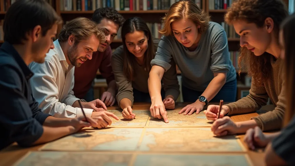
Beyond the allure of antique treasures, the study of maps offers a profound understanding of how societies construct and communicate their understanding of the world. The very act of drawing a map is an act of interpretation, a way of imposing order and meaning onto a seemingly chaotic environment. Early cartographers were not simply recording geographical features; they were also projecting their own values, beliefs, and political agendas onto the landscape. Consider the deliberate placement of mythical creatures and distorted landscapes on early maps of the Americas – these were not mere artistic flourishes, but reflections of European anxieties and a lack of reliable information. The representation of Jerusalem as the center of the world on the Fra Mauro map exemplifies how religious beliefs could shape geographical understanding. Even the choice of colors used to depict different regions could convey subtle messages about their perceived importance or resources. This intricate interplay of geography, culture, and power continues to resonate in modern cartography, albeit in more sophisticated forms. As technology advances and our understanding of the world deepens, the field of cartographic history will undoubtedly continue to reveal new insights into the human experience.
