Compass Points of Memory: How Maps Shape Our Sense of Place
There’s a peculiar power held within antique maps, a resonance that goes far beyond simply depicting geographical locations. They’re more than just representations of terrain; they're windows into the past, imbued with the aspirations, anxieties, and artistry of previous generations. For those of us who collect them – and for anyone who has ever paused to truly examine an old map – there’s an undeniable emotional connection, a sense of stepping outside of time and momentarily inhabiting a world viewed through a different lens. This isn’s merely about owning a piece of history; it's about feeling history itself.
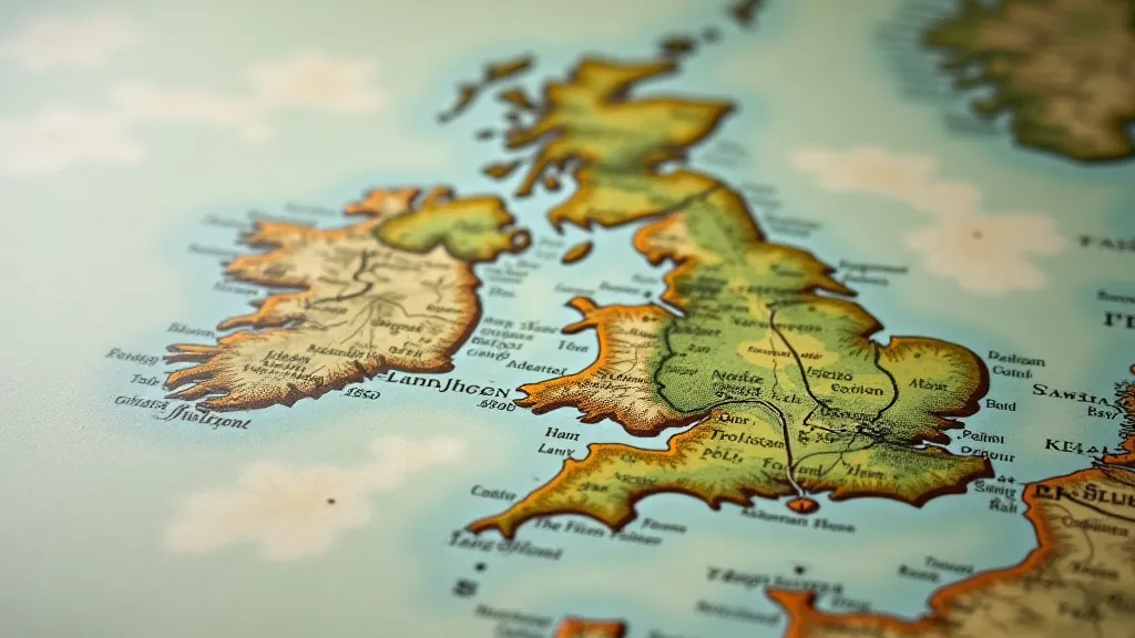
I first understood this power not through a formal lesson in cartography, but through a faded, brittle map of the British Isles I found tucked away in my grandmother's attic. She had been a schoolteacher, a woman steeped in stories, and the map, dated 1938, seemed to radiate her quiet strength and enduring curiosity. The hand-colored details – the gentle green of the countryside, the deep blue of the sea – were vibrant despite their age. It wasn't a map I needed, but a link to a memory, a touchstone to a woman who, through her love of learning, had instilled in me a deep appreciation for the world.
The Art and Craft of Cartography Through Time
Consider the evolution of mapmaking. Early maps weren't about precision; they were about storytelling. Ptolemy’s “Geography,” though foundational to modern cartography, was often fantastical, blending known landmasses with mythical regions. Medieval “Mappa Mundi,” or world maps, often featured Jerusalem at their center, reflecting the dominance of religious perspective. These weren't meant to be navigational tools, but symbolic representations of the known universe, often interwoven with biblical narratives and allegorical imagery. The artistry was paramount; illuminators painstakingly adorned the maps with intricate details, depicting mythical creatures, religious figures, and elaborate borders. They offered glimpses into a worldview shaped by both observed reality and fervent belief, inspiring wonder and fueling a desire to understand the cosmos – a cosmic yearning that resonates even today, prompting many to wonder about paper constellations and the ways imagination shapes our understanding of the universe.
The advent of the printing press in the 15th century revolutionized cartography. Suddenly, maps could be reproduced with relative ease, leading to greater accuracy and wider dissemination of geographical knowledge. The Renaissance brought a renewed interest in classical learning, fueling a more scientific approach to mapmaking. Think of Gerhard Mercator, whose projection, though distorting areas, allowed for accurate navigation – a crucial development for the Age of Exploration. His maps, beautiful in their own right, became essential tools for sailors charting new courses across vast oceans. The quest to accurately depict the world spurred both scientific advancement and a profound romanticism, a longing for the unknown that drove explorers to test the limits of human understanding and chart courses into the vast, open seas.
The 18th and 19th centuries witnessed the rise of detailed topographical maps, essential for military campaigns and infrastructure development. These maps, often produced by government agencies, reflected a shift towards a more utilitarian view of cartography. Yet, even within these practical documents, the hand of the cartographer is visible—in the carefully chosen fonts, the elegant depictions of towns and cities, and the subtle nuances of color that distinguish different terrains. These were meticulously crafted objects, demonstrating a level of craftsmanship that is rarely seen in today's digital age. The stories held within these maps extended far beyond mere geography; they were often intertwined with tales of maritime adventure and the challenges faced by those who navigated the world’s oceans - stories that echo in whispers from the coastline.
More Than Geography: History Woven into Paper
Vintage maps aren't simply records of physical locations; they are time capsules, revealing much about the political and cultural landscape of their creation. Names of places change, borders shift, and entire empires rise and fall, all reflected in the evolving depictions on these paper documents. Look at a map of Africa from the 19th century, and you’re confronted with the legacy of colonialism – the arbitrary borders drawn by European powers, the names imposed upon territories, the erasure of indigenous cultures. Analyzing these maps provides a vital historical perspective, forcing us to confront uncomfortable truths about the past and consider the long-lasting consequences of colonial policies.
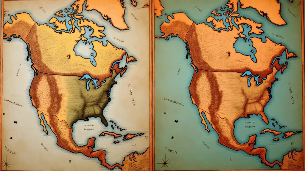
It’s fascinating to observe how the perception of the world has altered over time. Consider the shifting representations of North America. Early maps often depicted vast, unexplored regions, labeled “Terra Incognita” – unknown lands. As explorers ventured further west, these blank spaces were gradually filled in, revealing the complexity and diversity of the continent. Each new detail added to the map represents a moment in the ongoing process of human understanding. The desire to explore the unknown has always been a driving force in human history, inspiring generations to push the boundaries of knowledge and understanding, fueled by a promise of what lay beyond the horizon – a promise captured in the horizon’s promise.
The Personal Resonance of Antique Maps
For collectors, the appeal of vintage maps goes beyond mere historical interest. There's a profound sense of connection that arises from holding a piece of history in your hands. It’s about imagining the lives of the people who created the map, the sailors who used it to navigate the seas, the merchants who relied on it to conduct their trade. Each map tells a silent story, a testament to the human endeavors that have shaped our world.
I have a map of Florence, Italy, printed in 1880, that I inherited from my father. He was a passionate traveler, and this map served as his guide during a backpacking trip through Europe in his youth. Looking at the faded pencil markings, the circled points of interest, I feel a tangible link to his adventurous spirit. It’s more than just a map; it’s a portal to a cherished memory, a silent testament to his love of exploration and the indelible mark he left on my own life. These small details, these personal annotations, transform a static representation of a place into a living testament to a human experience.
Restoring a vintage map – carefully cleaning away dirt and grime, mending tears, and stabilizing brittle paper – is an act of preservation, a way of honoring the craftsmanship and the historical significance of the document. It's a slow, deliberate process that demands patience and respect for the artifact. It is a physical manifestation of the act of remembrance. The meticulous process of restoration allows us to not only preserve the map itself but also to understand the techniques and skills of the cartographers who created it – a deeper appreciation for the artistry and precision involved in mapmaking.
Preserving the Legacy
Collecting vintage maps is more than a hobby; it's a form of cultural preservation. These documents offer a unique window into the past, providing valuable insights into geography, history, and the evolution of human understanding. They connect us to previous generations, reminding us of the enduring power of exploration, artistry, and the human desire to chart our place in the world. Understanding the history of cartography requires us to consider not only the technological advancements that have shaped mapmaking but also the cultural and political contexts that have influenced how the world is perceived and represented.
The subtle imperfections – the faded colors, the brittle paper, the occasional tear – only enhance their charm. These are not pristine objects; they are living documents, bearing witness to the passage of time. They are compass points of memory, guiding us on a journey through history and revealing the enduring beauty of the world. Examining these historical records requires a critical perspective, acknowledging that maps are not neutral representations of reality but rather constructions shaped by human biases and agendas, reflecting the prevailing worldview of their time.
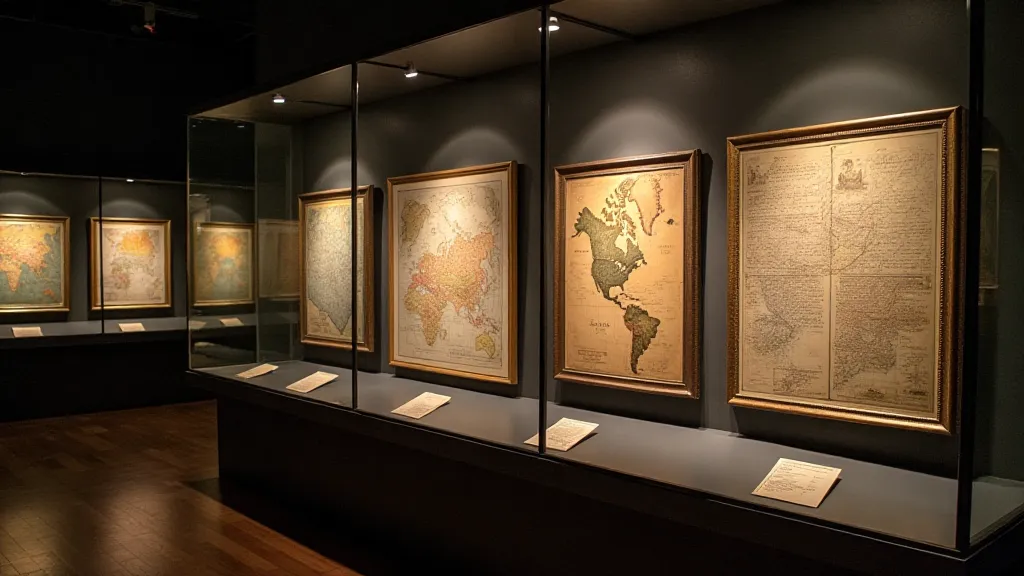
Furthermore, the evolution of map projections themselves offers a fascinating insight into how our understanding of the Earth has changed. Early attempts at representing the spherical Earth on a flat surface inevitably introduced distortions, but these distortions were often not fully understood or acknowledged. The ongoing quest for more accurate and equitable map projections remains a challenge for cartographers today, reflecting the complexities of representing a three-dimensional world on a two-dimensional plane.
The intersection of art and science in cartography is particularly striking. Early mapmakers often incorporated elaborate decorations and allegorical imagery into their work, transforming maps into works of art that blended scientific accuracy with aesthetic beauty. This tradition continues to inspire contemporary artists and designers, who draw upon the rich history of cartography to create innovative and visually stunning works.
Ultimately, vintage maps offer a unique opportunity to connect with the past, to appreciate the artistry and ingenuity of previous generations, and to gain a deeper understanding of our place in the world. They serve as powerful reminders of the enduring human desire to explore, to understand, and to map our place in the vast and ever-changing landscape of our planet.
