Cartography's Alchemy: Transforming Paper into Portals of the Past
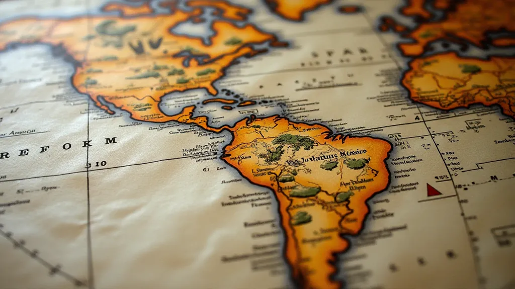
There's a peculiar magic held within the creases and faded inks of a vintage map. It’s not the grand illusion of a stage magician, but something quieter, more profound: the power to transport you, not physically, but through time and imagination. For those of us drawn to collecting vintage maps, it’s a passion born not just from an appreciation of beautiful objects, but from a deep-seated fascination with the human quest to understand and represent our world.
My own journey into this fascinating world began unexpectedly. I inherited a box of my grandfather's belongings after he passed, and among the tools and old photographs was a rolled-up map of the Austro-Hungarian Empire, circa 1910. The paper was brittle, the colors muted, but the sheer detail – the painstakingly drawn borders, the elegant script labeling towns and regions – captivated me. It wasn’t just a map; it was a window into a vanished era. He was a diplomat, a man who navigated these borders, and suddenly, this piece of paper felt intensely personal, a tangible link to his life and times.

The Art of Cartography: More Than Just Lines on Paper
To appreciate the allure of vintage maps, one must understand the intricate craft of cartography. Forget the digital precision of modern GPS; historical mapmaking was an art form, demanding a unique blend of scientific observation, artistic skill, and a touch of imagination. Early cartographers relied on a limited number of sources – explorers’ journals, sailors’ logs, existing maps (often inaccurate themselves!), and local knowledge – to piece together their depictions of the world. There were no satellites; no instant aerial photography. Every coastline, every river, every mountain range was painstakingly rendered by hand.
Think about the technical challenges. The availability of paper alone influenced the detail and size of maps. Before the industrial revolution, paper was expensive and time-consuming to produce. This meant maps were often smaller, more concise, and heavily reliant on symbolic representation. Color was introduced later, and the pigments themselves – derived from minerals, plants, and even insects – impacted the longevity and vibrancy of the image. The creation of an early map wasn’t just a job; it was a significant investment of time, skill, and resources. Often, the representations bore witness to the ambitions of empires, leaving echoes of colonial legacies etched onto the very fabric of these historical artifacts. For those deeply interested in the complexities of historical representations, exploring The Ink of Empires: Unraveling Colonial Legacies Etched on Old Maps can offer a further look into the intricacies of colonial mapmaking.
Exploring Historical Context: Maps as Historical Documents
Vintage maps aren't just beautiful artifacts; they are invaluable historical documents. They offer a unique perspective on how the world was perceived at different points in time. Political boundaries shift with wars and treaties, colonial ambitions are boldly declared, and the very names of places reflect the changing cultural landscape. Examining a map from the age of exploration, for example, reveals not just the geographical discoveries, but also the prevailing attitudes towards indigenous populations and the relentless pursuit of trade routes. A map of the American West from the 1870s provides a fascinating glimpse into the era of westward expansion and the displacement of Native American tribes. Consider that entire places have faded from the map over time, lost to the shifting sands of history. Readers interested in contemplating these absences can delve deeper into The Atlas of Absence: Places Lost to the Shifting Sands of History.
Consider how the representation of the world changed as new technologies emerged. The Mercator projection, still widely used today, revolutionized navigation but distorted the size of continents. As cartographers became aware of this distortion, alternative projections were developed, each with its own biases and strengths. Comparing these different projections highlights not only the technical advancements but also the evolving understanding of our planet’s shape and its place in the universe.
The Craftsmanship: Details that Reveal the Hand of the Maker
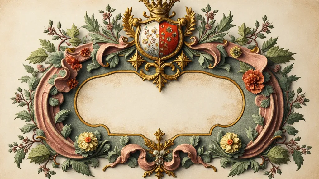
The true beauty of vintage maps often lies in the details – the delicate calligraphy, the intricate illustrations, the subtle variations in paper texture. Early maps were frequently embellished with decorative elements: mythical creatures, allegorical figures, and elaborate cartouches (the ornamental frames that held the map’s title and key). These additions weren’t merely ornamental; they served to enhance the map’s aesthetic appeal and to convey a sense of prestige and authority. They also reveal the cultural context in which the map was created.
The paper itself is a crucial element. Historically, maps were typically printed on handmade paper, which imparted a unique character and texture. The watermarks – the faint designs embedded in the paper during manufacture – can often be used to identify the paper’s origin and date. Examining the paper under magnification can reveal clues about its production methods and its history. Imagine the sailors who relied on these charts, navigating vast oceans guided by fragile paper and the skilled hand of the cartographer – the echoes of maritime tales embedded within each fold. For those fascinated by these narratives, exploring Whispers from the Coastline: Maps as Vessels of Maritime Tales can provide a captivating journey.

Collecting Vintage Maps: Considerations and Preservation
For those drawn to collecting vintage maps, it’s a journey of discovery and appreciation. Prices can vary dramatically, depending on the map’s rarity, condition, and historical significance. Common maps might be found for relatively little, while rare and well-preserved examples can command significant sums.
Condition is paramount. Folds, tears, stains, and insect damage all impact the value. While some minor wear and tear is to be expected with antique paper, significant damage will detract from its appeal. Acquiring maps from reputable dealers is advisable, as they can provide expertise and provenance. Storage is equally important. Maps should be stored flat in archival-quality sleeves and folders, away from direct sunlight and humidity. Attempting DIY restoration can often do more harm than good; professional conservation is best left to experts.
Beyond the monetary value, however, lies the true reward: the opportunity to hold a piece of history in your hands. To trace the routes of explorers, to visualize the boundaries of empires, to appreciate the artistry and craftsmanship of bygone eras. Each crease, each faded ink mark, tells a story – a story of human ambition, ingenuity, and our enduring quest to understand the world around us. The passage of time has left its mark, and it's often within these very imperfections that we find the most poignant reminders of eras lost. Those deeply moved by these reflections might find solace in The Cartographer's Lament: Echoes of Eras Lost in Folds of Paper, a poignant exploration of time and memory as revealed through antique maps.

Collecting vintage maps isn't just about acquiring beautiful objects; it’s about connecting with the past, appreciating the artistry of cartography, and celebrating the human spirit of exploration and discovery. It’s a journey that transforms paper into portals of the past, inviting us to step back in time and glimpse a world that once was.


