The Atlas of Absence: Places Lost to the Shifting Sands of History
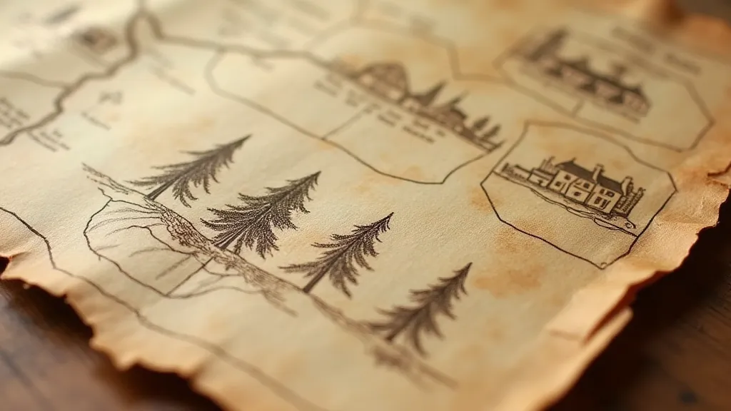
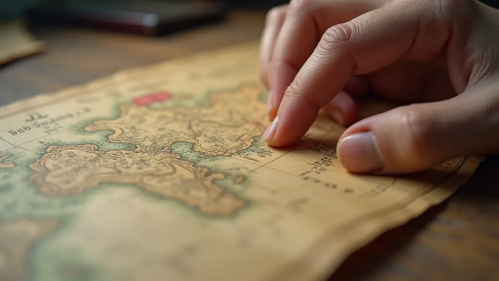
There's a peculiar melancholy that settles over me when I trace a finger across an old map. It’s not simply the beauty of the hand-drawn lines, the elegant calligraphy labeling towns and rivers, or the patina of age that lends such antique cartography an undeniable charm. It's the awareness of absence. The profound realization that the world depicted on that paper is not, and never will be again, precisely as it was.
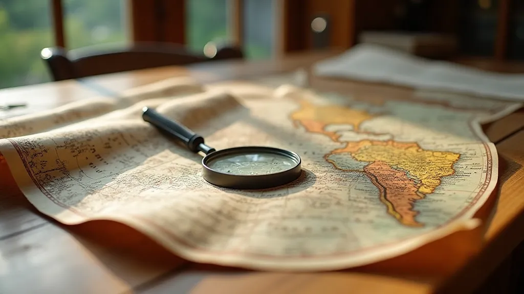
Vintage maps aren't just representations of geography; they are frozen moments in time, testaments to a world constantly in flux. And within their carefully rendered details lie the stories of places vanished – swallowed by the sea, erased by political boundaries, or simply forgotten by the relentless march of progress. These are the places that haunt the atlas of absence, and they offer a unique lens through which to understand the fragility of human endeavor and the relentless power of nature.

Vineta: The City Lost Beneath the Waves
Consider Vineta, a medieval trading settlement located off the coast of Latvia. Flourishing from the 13th to the 16th centuries, it was a vital hub for commerce and shipbuilding, boasting a diverse population and a thriving economy. Maps of the era meticulously mark its position, a cluster of buildings nestled on a low-lying island. Then, sometime in the 24 years between 1524 and 1546, it disappeared. A massive storm, or possibly a series of storms, combined with the island’s vulnerable geography, sent Vineta beneath the waves. It hasn’t been seen since.
What stories lie entombed in those submerged foundations? What were the last conversations spoken as the rising tide consumed homes and businesses? It's a chilling thought, and one that resonates deeply when examining those old maps. You see the meticulous detail, the names of the inhabitants painstakingly recorded, and then… nothing. Just open water where a vibrant city once stood.
Lake Chad: A Shrinking Legacy
The disappearance isn's always dramatic, involving catastrophic events. Sometimes, it's a slow, agonizing fade. Lake Chad, a vital lifeline for communities across Chad, Niger, Nigeria, and Cameroon, offers a poignant example. Historically one of the largest lakes in Africa, it has dramatically shrunk over the past few decades due to climate change, overgrazing, and unsustainable water management. Maps from the mid-20th century depict a sprawling body of water; modern maps show a fraction of that size, a fractured landscape of drying beds and struggling villages.
The stories woven into the shrinking shoreline are heartbreaking – tales of displaced families, dwindling harvests, and the slow erosion of a way of life. Examining historical maps of Lake Chad isn't just about observing geographic change; it's about witnessing the unraveling of human connection to the land and the consequences of environmental neglect. It is a sobering reminder of our responsibility to protect the precious resources that sustain us.
The Power of Cartographic Craftsmanship
These vintage maps weren's created by automated machines. They are the product of painstaking craftsmanship, the result of hours spent poring over observations, carefully transcribing information, and meticulously drawing each line and detail. The cartographers of the 17th, 18th, and 19th centuries were artists as much as they were scientists. They understood that a map wasn't just a technical document; it was a work of art, a reflection of the world as perceived by their era.
Consider the intricate details of a Mercator projection, the elegant curves of a Cassini map, or the richly colored plates of an early Ordnance Survey. Each stroke of the pen, each carefully chosen color, conveys a sense of place and character. There was a pride in accuracy, a desire to leave a legacy through their artistic skill. The delicate aging of these maps, the subtle imperfections in the paper, only enhance their beauty and imbue them with a profound sense of history.

The Impermanence of Boundaries
Political boundaries, too, are notoriously fluid. Lines drawn on maps today can be drastically different from those shown on maps of the past. The collapse of empires, the rise of new nations, the redrawing of borders in the wake of conflict – all these events leave their mark on the cartographic record. Examining old maps allows us to appreciate the transient nature of political arrangements and the human cost of territorial disputes.
Consider the Austro-Hungarian Empire, once a vast and complex realm, now fragmented into several independent nations. Or the Ottoman Empire, whose borders once stretched across North Africa, the Middle East, and the Balkans. Maps charting these empires reveal a world shaped by ambition, conquest, and ultimately, decline. The names of cities and regions change, reflecting shifts in power and cultural identity, a visual representation of the relentless reshaping of human landscapes.
Preserving the Stories Within
Collecting vintage maps isn't simply about acquiring beautiful objects; it's about preserving fragments of the past, safeguarding the stories they hold. While restoration should be approached with caution – excessive cleaning or alteration can damage the map’s integrity and historical value – careful storage and handling can prevent further deterioration. Professional conservationists can offer expertise in stabilizing fragile maps and mitigating the effects of environmental factors.
Even owning a reproduction or facsimile of a vintage map offers a powerful connection to history. The ability to trace those vanished places, to contemplate the lives of the people who once called them home, is a privilege that transcends time and geography. It’s a reminder that the world is constantly changing, that even the most seemingly permanent features of our planet are subject to the relentless forces of nature and the complexities of human action.

The atlas of absence isn't a book of losses, but a testament to the resilience of human memory. It’s a reminder to cherish the places we have, to learn from the mistakes of the past, and to recognize the profound connection between geography, history, and the human spirit. It is a world rendered in paper, where echoes of vanished places linger, waiting to be rediscovered.


