Whispers from the Coastline: Maps as Vessels of Maritime Tales
There’s a particular thrill in handling a truly old map. It’s more than just paper and ink; it's a window into a vanished world, a silent witness to centuries of human endeavor. For those of us drawn to the allure of vintage maps, the coastal charts—those depictions of shorelines, islands, and sea lanes—hold a special significance. They aren't merely geographical representations; they are vessels carrying the echoes of explorers’ ambitions, traders’ fortunes, and the very real perils faced by those who dared to navigate the vast, unforgiving oceans. The scent of aged paper, the subtle crackle under your fingertips—these are tactile reminders of the human hands that created and used these vital tools.
My own fascination with coastal maps began unexpectedly. As a child, I spent summers with my grandfather, a retired naval officer. He possessed a small collection, mostly of nautical charts from his service, but a single, faded map of the Mediterranean caught my eye. It wasn’t beautiful in the conventional sense; the colors were muted, the lines blurred, and there were water stains that looked like ancient tears. But it held an undeniable pull. He’s tell me stories of Phoenician trade routes, Roman expeditions, and the perilous journeys of medieval explorers, all traced on that very map. Suddenly, it wasn't just a piece of paper; it was a portal to another time, a tangible link to the people who had navigated those waters centuries before.
The Cartographer’s Craft: More Than Just Lines on Paper
Understanding a vintage coastal map requires appreciating the extraordinary skill and artistry involved in its creation. Before the advent of satellite imagery and precise surveying instruments, cartographers relied on a combination of hearsay, observation, and ingenious calculation. Explorers, often sailing under the patronage of kings or merchant companies, painstakingly recorded their observations, sometimes only sketching rough outlines on parchment. These notes would then be passed on to specialized mapmakers who, using a combination of mathematics, geometry, and artistic talent, translated them into detailed charts. These weren't casual endeavors; they were critical for navigation, trade, and even national security. The process itself reveals how much the presentation of information – even geographical information – is influenced by the cultural context. Examining broader historical maps demonstrates how mapping the cultural exchange of ideas fundamentally shapes the understanding of the world.
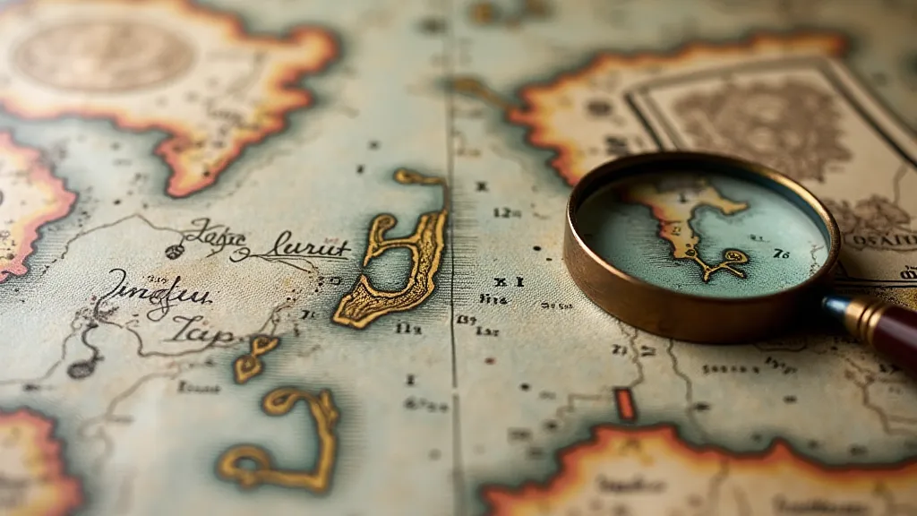
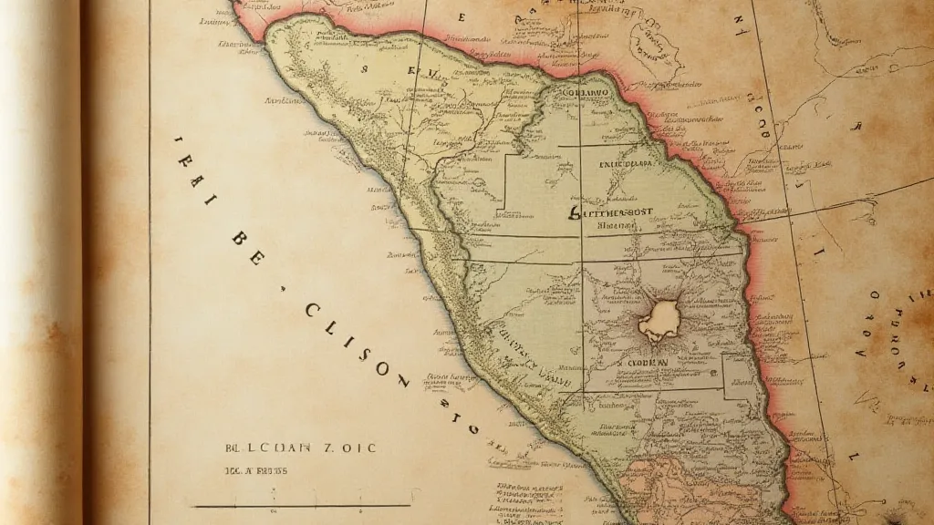
Look closely at a well-preserved example. Note the intricate details – the precise rendering of coastlines, the careful labeling of harbors and landmarks, the symbols denoting reefs and shoals. Observe the decorative elements—the mythical sea creatures adorning the corners, the elaborate compass roses providing orientation. These weren’t just functional tools; they were works of art, reflecting the aesthetic sensibilities of the age. The level of craftsmanship is remarkable, and the dedication of the cartographer is undeniable. The hand-coloring, often applied using natural pigments, adds another layer of beauty and historical context. Each color choice was deliberate, representing different political boundaries, trade routes, or geological features.

Tales of Exploration and Peril
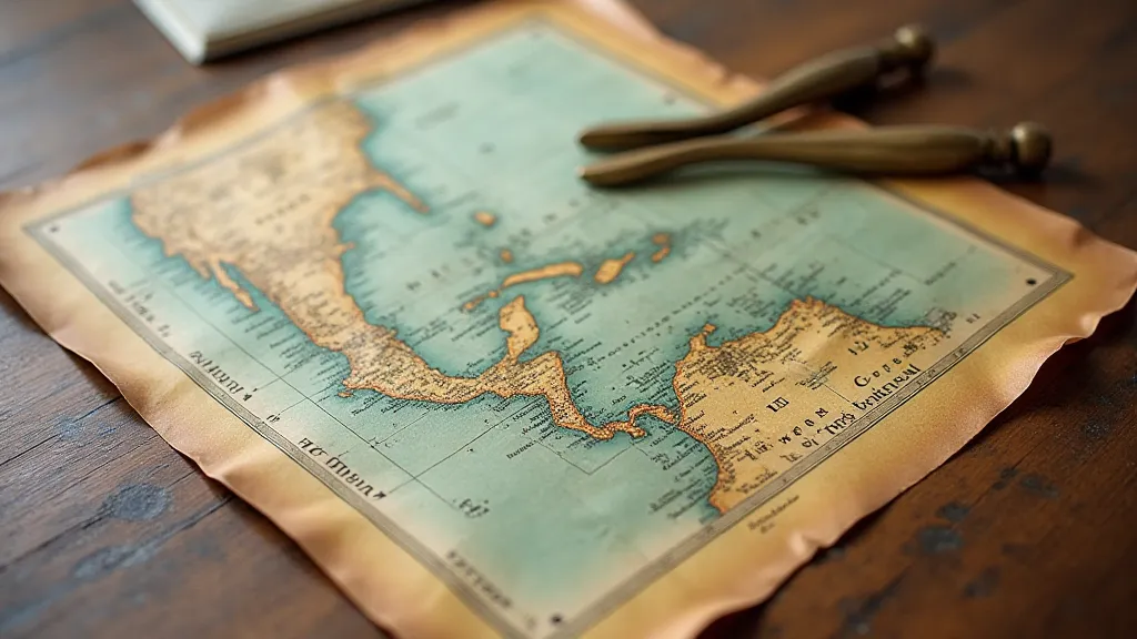
Coastal maps are steeped in stories. Think of the Portuguese explorers charting the African coast in the 15th century, driven by the desire for gold, spices, and a new route to the Indies. Consider the Dutch East India Company, meticulously mapping the Indonesian archipelago to secure trade dominance. Or recall the French expeditions to the New World, carefully documenting the North American coastline. Each map represents a moment in history, a culmination of risk, ambition, and often, incredible hardship. The power of cartography lies not just in accurate representation but also in its ability to evoke a sense of place and memory. Just as a cherished photograph can trigger a flood of recollections, these maps serve as potent reminders of past voyages and experiences, inextricably linking us to the individuals who dared to navigate uncharted waters. It’s fascinating to think about how these maps contributed to our sense of place, influencing our perception of the world and shaping our individual and collective memories.
But it wasn't just about discovery and trade. These maps also documented the perils of the sea. Look for symbols denoting shipwrecks, treacherous currents, or areas known for storms. These weren’t merely cautionary notes; they were stark reminders of the risks faced by those who earned their living on the ocean. Storms, pirates, and disease were constant threats. Navigators had to rely on their skills and knowledge to survive. A single error in judgment could lead to disaster. The maps themselves became vital tools for survival, guiding ships safely through dangerous waters.
My grandfather would often point to a small, almost illegible notation on the Mediterranean map – a reference to a devastating storm that had claimed the lives of several ships in the 17th century. He’s tell me it was a stark reminder of the power of nature and the fragility of human life. It gave the map a profound weight, transforming it from a mere geographic representation into a memorial to those lost at sea. Understanding the creation and interpretation of these maps requires more than just technical knowledge; it demands a willingness to consider diverse perspectives and challenge preconceived notions about the past. Often, the initial understanding of a region presented on a map was shaped by the biases and ambitions of the cartographer, leading to interpretations that were far removed from the reality experienced by those who lived there. It's crucial to remember that maps are not objective records of the world but rather subjective representations, colored by the beliefs and agendas of their creators. These perspectives can often be revised when examining them with a modern eye, allowing for a deeper understanding of the complexities of the past.
Collecting Considerations: Preservation and Authenticity
Collecting vintage coastal maps is a rewarding pursuit, but it requires knowledge and care. Authenticity is paramount. Early reproductions can be surprisingly convincing, so it's important to understand the characteristics of genuine antique maps – the paper type, the ink composition, the printing techniques. Seek the advice of experienced collectors or reputable dealers. Paper aging is a factor, but should be consistent with the map's declared age. Discoloration and foxing (small brown spots) are common, and can be a sign of age, but excessive damage is a red flag. It’s interesting to consider that even the methods employed to create these maps are constantly being re-evaluated and refined as we develop new technologies and gain a more nuanced understanding of the historical context in which they were produced. The biases inherent in early cartography can sometimes be startling, reflecting the limited knowledge and prevailing attitudes of the time. Examining these historical inaccuracies with a weight of perspective, considering how our understanding of the world has evolved, provides a valuable insight into the challenges and limitations of the past.
Preservation is equally crucial. Store your maps in a cool, dry place, away from direct sunlight and humidity. Use acid-free folders and sleeves to protect them from damage. Framing is an option, but be sure to use archival-quality materials that won't harm the paper. Avoid harsh cleaning methods; gentle dusting with a soft brush is usually sufficient. A skilled conservator can address more serious damage, but this should be done only by a professional with experience in antique map restoration. The process of restoring these maps is not without its own set of ethical considerations. It's a delicate balance between preserving the historical integrity of the original document and ensuring its long-term survival. Any interventions should be carefully documented and undertaken with the utmost respect for the map’s heritage. The marginalia—those handwritten notes and annotations found on older maps—often provide invaluable clues about the map's history and provenance. Deciphering these echoes in the margin can unlock fascinating stories about the map's previous owners and the voyages it accompanied.

The Enduring Allure of the Coastline
Vintage coastal maps offer more than just a glimpse into the past; they connect us to the historical context and the exploration of new territories. It’s an exciting journey to discover how past understandings of the world, as documented on these artifacts, shaped our modern knowledge. They offer a unique window into the past, allowing us to connect with the explorers, traders, and navigators who shaped our world and left their indelible mark on the charts that guide us still.


