The Cartographic Garden: Cultivating a Deeper Appreciation for Old Maps
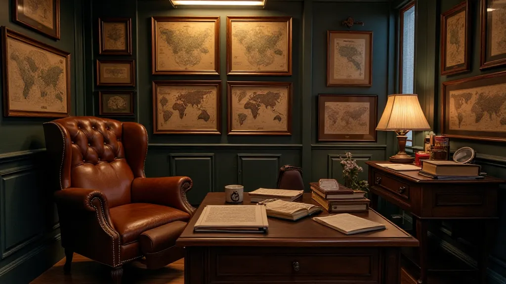
There’s a peculiar magic in holding an old map. It's more than just paper and ink; it’s a portal. A fragile echo of a time when exploration was a dangerous dance, when coastlines were guesswork, and the world felt vast and unknowable. I remember the first time I felt that magic. My grandfather, a quiet man of meticulous routines, possessed a small, rolled-up map of the Mediterranean, likely a souvenir from his travels decades ago. He’s long gone now, but the feeling of unfurling that brittle parchment, tracing the imagined shores with my finger, remains as vivid as yesterday. It wasn't about the geographical accuracy; it was about the story held within those faded lines.
Collecting vintage maps isn't simply acquiring objects; it's cultivating a garden. A garden of history, artistry, and the human drive to understand our place in the world. Just as a gardener tends to their plants, nurturing their growth and appreciating their unique characteristics, a map collector must cultivate a deeper understanding of their precious collection.
The Language of Lines: Understanding Cartographic Symbols
Before delving into the allure of specific eras or mapmakers, understanding the basic language of antique maps is crucial. Forget the precise, satellite-derived imagery we’re accustomed to today. Old maps operated on a different set of rules, a cartography born from rumor, observation, and often, a good dose of artistic license. Take, for instance, the ubiquitous sea monsters. These weren't whimsical additions; they represented the unknown – the treacherous depths where sailors feared lurking dangers. Similarly, ornate cartouches – the decorative titles and compass roses – weren’t just aesthetically pleasing; they often contained vital information about the map’s provenance and the engraver’s guild.
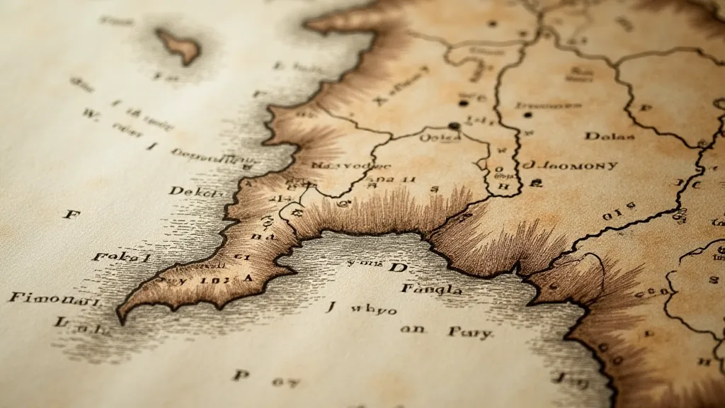
Consider the use of hachures – short, parallel lines used to indicate elevation. Their density and direction conveyed a sense of mountainous terrain, but their accuracy was, understandably, limited by the technology of the time. And the way cities were depicted—often as miniature, stylized representations—provides a fascinating glimpse into the prevailing artistic conventions. It's fascinating to see how different mapmakers interpreted the same geographic features, each reflecting their own biases and aesthetic preferences.
A History Etched in Ink: From Ortelius to Blaeu
The 16th and 17th centuries represent a golden age for mapmaking. The Renaissance spurred a renewed interest in classical learning, including the study of geography. Figures like Abraham Ortelius, often hailed as the father of modern cartography, revolutionized mapmaking by compiling previously dispersed maps into atlases—groundbreaking collections that disseminated knowledge and standardized geographic understanding. His "Theatrum Orbis Terrarum" (1570) – the first modern atlas – was a monumental achievement.
The Blaeu family in Amsterdam were also pivotal. Their workshops produced stunning, often double-page maps, known for their elaborate ornamentation and precise (for the time) detail. The sheer scale and ambition of their productions underscore the growing importance of maps in trade, navigation, and international relations. These weren't just decorative items; they were essential tools for expanding empires and understanding the world's resources. The beauty of a Blaeu map is matched by the significant historical context it embodies.
The Hand of the Artisan: Appreciating Print Quality & Paper
A true appreciation for vintage maps extends beyond simply recognizing historical significance. It requires a sensitivity to the craft itself. Examine the paper – is it laid paper, with distinctive chain lines, indicating its handmade origin? The type of paper used can offer clues about the map’s age and origin. Consider the quality of the engraving. Were the lines crisp and clean, or blurred and smudged? This often speaks to the skill of the engraver and the quality of the printing process.
Early maps were often hand-colored, a painstaking process that involved skilled artisans who meticulously applied pigments to the printed surface. The vibrancy and accuracy of the coloring can vary greatly, offering another avenue for appreciating the map’s artistic merit. The presence of foxing – small, brownish spots caused by oxidation – is common on older maps, and while it can detract from the aesthetic appeal, it's also a testament to the map’s age and the environmental conditions it has endured.
The Collector's Dilemma: Restoration & Preservation
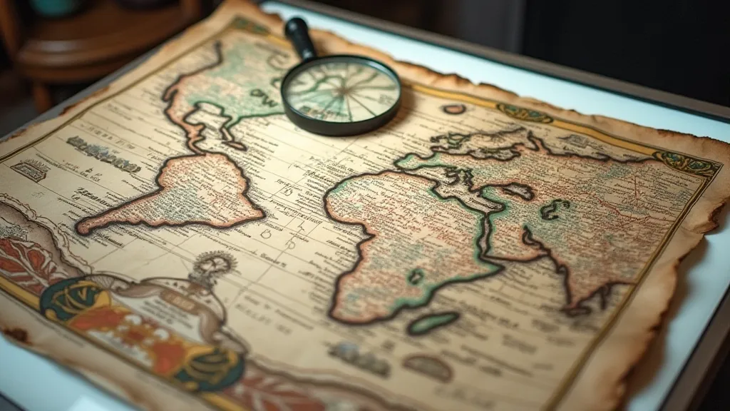
The desire to preserve these historical treasures is natural. However, the ethics of restoration are a constant debate within the collecting community. Aggressive cleaning or over-repairing a vintage map can significantly diminish its value and historical integrity. The beauty of an old map often lies in its imperfections – the cracks, the foxing, the faint stains. These are all part of its story.
Proper storage is paramount. Store maps flat, away from direct sunlight and extreme temperatures. Acid-free folders and archival sleeves are essential for protecting them from further deterioration. If a map requires cleaning, it's best to consult with a professional conservator who specializes in paper restoration.
Beyond Geography: Connecting with History and Humanity
Collecting vintage maps isn’t just about possessing beautiful objects. It's about forging a connection with the past. It's about understanding the world through the eyes of those who came before us. Imagine the sailors navigating by these maps, relying on their accuracy—or lack thereof—to guide them across vast oceans. Consider the explorers who charted unknown territories, their discoveries forever immortalized in ink and paper.
Each map tells a story – a story of exploration, trade, politics, and human ingenuity. By cultivating this appreciation, by tending to our “cartographic garden,” we not only preserve a piece of history but also enrich our understanding of the human experience. It's a journey of discovery, not just of geography, but of ourselves and our place in the ever-evolving story of our world.
