The Weight of Perspective: Reinterpreting Historical Maps Through Modern Eyes
There's a peculiar, almost melancholy beauty to holding a truly old map. It's more than just paper and ink; it's a tangible link to a time when the world was vastly different, not just geographically, but conceptually. It's a window into the assumptions, fears, and aspirations of those who lived and charted it. I remember the first time I held a 17th-century map of the Americas. The paper was brittle, the colors muted, the borders… utterly unlike anything I’m familiar with. It felt like grasping a whisper from another century, a testament to the tireless work of cartographers, but also a silent reminder of how much we’re standing on the shoulders of.
My grandfather, a retired clockmaker, instilled in me a deep appreciation for craftsmanship and the stories embedded in antique objects. He’s the one who introduced me to collecting, not initially with maps, but with accordions. Their complex mechanisms, the delicate tuning of reeds, the sheer artistry involved… he’s demonstrated each piece, slowly and methodically, over countless afternoons. "Each scratch," he's always said, "is a mark of its journey. It’s a life lived." The same sentiment applies profoundly to vintage maps. They aren’t simply depictions of land; they are cultural artifacts imbued with the biases and limitations of their time.
The Cartographer's Lens: More Than Just Geography
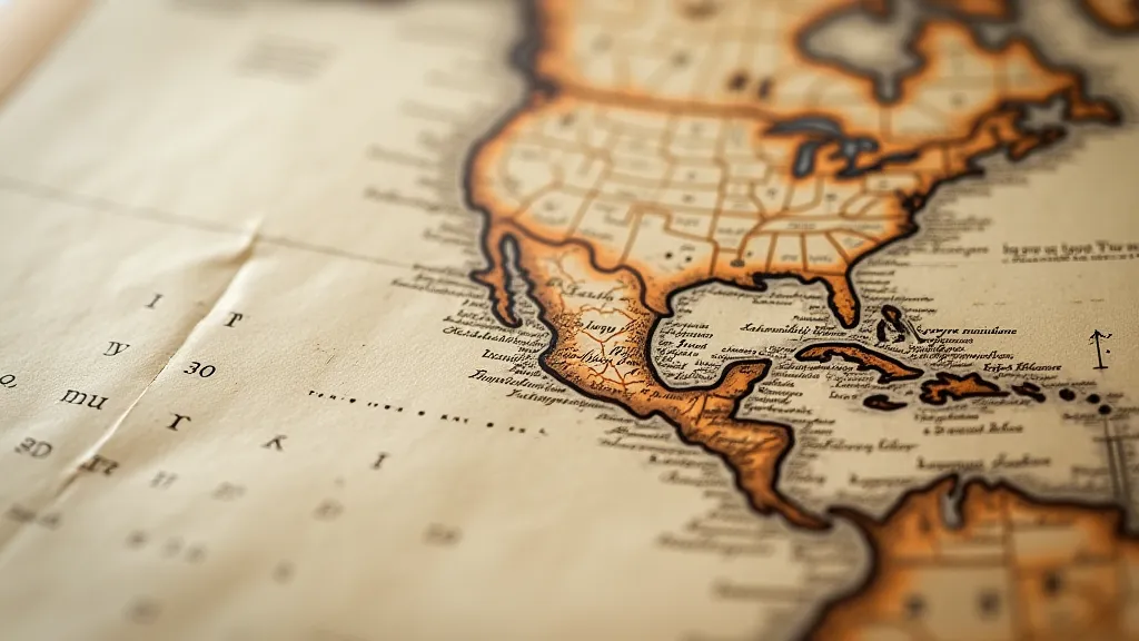
The science of cartography, even in its early forms, was never truly objective. Maps weren't just about accurately representing physical space; they were tools of power, instruments of empire. Consider the Mercator projection, still widely used today. Its deliberate distortion, exaggerating the size of polar regions, served to visually amplify the apparent dominance of European colonial powers. Knowing that, looking at a Mercator projection isn’t just seeing the world; it's encountering a specific, politically motivated perspective. Early maps, especially those depicting unexplored or contested territories, often reflected the ambitions and anxieties of the sponsoring nation.
Think about the "Here Be Dragons" sections of medieval maps. These weren't whimsical doodles; they were statements. They represented the unknown, the potentially dangerous, the places where established knowledge simply didn't reach. They weren’t just "empty" spaces; they were filled with the fears and fantasies of a world on the cusp of exploration. These cartographical voids weren’t neutral; they were actively shaping perceptions, justifying expeditions, and subtly reinforcing the idea that the known world was superior to the unexplored. The symbols and artistic choices used in these maps – the dragons, the sea monsters, the fantastical creatures – speak to a broader system of understanding, a way of representing the world that we are only beginning to fully appreciate. Understanding these systems requires a deeper understanding of how mapmakers employed a complex cartographic cipher to communicate not just geographic information, but also cultural assumptions and power dynamics.
Beyond outright distortion, consider the language used on these maps. Place names were often misspelled, deliberately altered to reflect the conqueror’s language, or entirely fabricated to assert ownership. Indigenous populations were frequently ignored, misrepresented, or simply erased from the depiction of the landscape. These omissions weren't accidental; they were a deliberate attempt to rewrite history and justify the appropriation of land and resources.
Craftsmanship and the Passage of Time
The physical process of creating these maps was an arduous one. Before the advent of printing presses, most maps were painstakingly hand-drawn, often by skilled artists and draftsmen. They relied on limited and often unreliable sources: sailor’s accounts, explorers' journals, and occasionally, indigenous knowledge (though this was often filtered through a European lens). The techniques involved were complex; engraving, etching, and hand-coloring were all crucial elements in the creation of a finished map. The inks used, often derived from natural pigments, have aged beautifully over the centuries, creating a unique patina that modern printing simply cannot replicate.
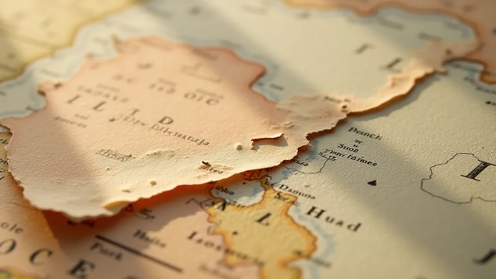
Looking closely at a vintage map, you can often see the subtle traces of the cartographer’s hand: a slight tremor in the line work, an unevenness in the coloring, a tiny smudge of ink. These imperfections aren’t flaws; they're reminders of the human effort involved in creating these extraordinary objects. The paper itself tells a story – its texture, its color, its fragility— all testaments to the passage of time. I’m particularly fascinated by the repairs often found on older maps – small pieces of paper meticulously pasted over tears, old tape carefully removed, the faint evidence of past restoration attempts. These interventions, while sometimes regrettable from a purist's perspective, also reveal the enduring value placed on preserving these historical documents. It’s amazing to consider how these maps, so vital to exploration and understanding, have undergone their own journey through time, often requiring careful nurturing to ensure their survival. This careful preservation and understanding of historical mapmaking is truly akin to cultivating a deeper appreciation for old maps, tending to their stories and revealing their hidden beauty.
Evolving Perspectives: Reinterpreting the Past
Our understanding of historical maps has undergone a dramatic shift in recent decades. Initially, they were often viewed simply as sources of geographic information. Now, historians and cartographers are increasingly recognizing their value as cultural artifacts, windows into the biases and assumptions of past societies. The rise of digital cartography and Geographic Information Systems (GIS) has also enabled new ways of analyzing and interpreting historical maps, allowing us to overlay them with modern data and identify patterns of change over time. This is a fascinating evolution, highlighting the shifting perspective on these documents, akin to watching the rivers of time themselves, constantly reshaping the landscape of understanding.
Consider the ongoing debate surrounding the representation of Indigenous territories on historical maps. For decades, these maps were used to legitimize colonial claims and erase the presence of Indigenous populations. Now, Indigenous communities are actively challenging these representations and reclaiming their own narratives. Scholars are working to reconstruct Indigenous cartographies, revealing alternative perspectives on the landscape and challenging the dominant colonial worldview. The creation of these maps, and their subsequent interpretations, speaks to a broader understanding of how geographical knowledge is not just about locations, but about power, identity, and control.
Restoring or preserving vintage maps isn't simply about repairing physical damage; it's about understanding the context in which they were created and appreciating their cultural significance. While some purists argue that any intervention diminishes the historical integrity of a map, responsible conservation practices aim to stabilize the object while minimizing the impact on its original materials and character. Ultimately, collecting vintage maps isn't just about acquiring beautiful objects; it’s about engaging with history, challenging our assumptions, and broadening our perspectives.
The Enduring Legacy
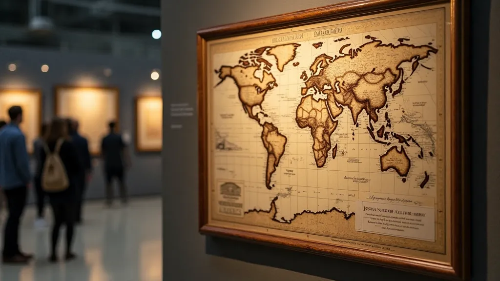
Holding a vintage map is a privilege. It’s a chance to connect with the past, to appreciate the ingenuity and artistry of those who came before us, and to reflect on the ever-changing nature of our understanding of the world. It's a reminder that maps are never just about where we are; they're about who we are, and how we see ourselves in relation to the world around us. And just like my grandfather’s accordions, these fragile pieces of history have stories to tell - if we only take the time to listen. The artistry and skill involved in their creation, the passage of time they have endured, and the insights they offer into past cultures all combine to create a legacy of knowledge and beauty that continues to inspire and inform us today. The transformation of raw materials—paper, ink, pigments—into a portal to another time is a testament to the enduring power of human creativity and the alchemy of cartography.
