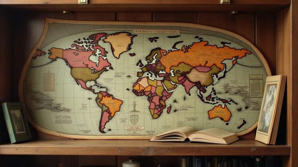
Rivers of Time: Tracing the Evolution of Mapmaking Styles
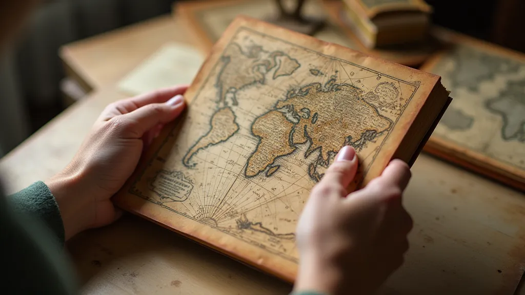
There's a peculiar magic in holding a vintage map. It’s not just the paper – often brittle, faded, and whispering with age – but the world contained within. A world seen through the eyes of someone long gone, meticulously rendered onto a surface that represents a snapshot of understanding, of exploration, and of the ever-shifting relationship between humanity and the land. For a collector, it’s a visceral connection to history, a tangible link to eras we can only imagine through textbooks and narratives. My own journey into map collecting began with a chance encounter at a dusty antique shop; a 17th-century Dutch sea chart, intricately detailed and unexpectedly beautiful, completely captivated me. It felt like uncovering a hidden treasure, a silent testament to ambition, skill, and the relentless human desire to chart the unknown.
Early Cartography: From Cosmic Diagrams to Regional Representations
The earliest maps weren't always about accurately depicting geography in the way we understand it today. Many originated as celestial diagrams, attempting to reconcile the known world with religious beliefs and cosmological theories. Think of the Babylonian clay tablets showing flat Earth representations surrounded by water – fascinating reflections of a worldview shaped by limited knowledge and powerful mythology. Then came the Ptolemaic maps, based on Claudius Ptolemy’s *Geographia*, which, while influential for centuries, suffered from significant distortions due to inaccurate measurement and projection techniques. The focus wasn’t so much about precise location but about organizing knowledge and understanding the perceived order of the universe. This inherent bias, the perspective through which the world was understood and represented, highlights how maps aren't simply representations, but interpretations—a concept further explored in articles examining The Weight of Perspective: Reinterpreting Historical Maps Through Modern Eyes.
As exploration began in earnest, these early cartographic efforts slowly started incorporating more regional detail. Roman maps, like the Peutinger Table, were more practical – intended for road planning and military campaigns – often prioritizing relative distances rather than absolute accuracy. These maps weren’t ‘beautiful’ in the modern sense; they were functional tools, reflecting a different set of priorities.
The Medieval Era: T-O Maps and the Rise of Decorative Cartography
The Middle Ages witnessed a fascinating shift. The ‘T-O’ map – a circular map with Jerusalem at the center, enclosed by a surrounding ocean – became the standard representation. These maps were more symbolic than accurate. They conveyed religious truths and moral lessons rather than geographical realities. They were beautiful, undeniably, but their beauty lay in their artistry and their connection to a deeply held worldview. Imagine the hours spent painstakingly drawing these intricate depictions, the dedication to a craft rooted in faith and tradition. Beyond the visual representations, these maps often served as conduits for the transmission of knowledge and cultural exchange, demonstrating how cartography played a vital role in shaping our understanding of the world—a theme considered more closely in Beyond the Borders: Mapping the Cultural Exchange of Ideas.
However, even within this framework, we begin to see the seeds of what we consider cartographic artistry. Borders were embellished with fantastical creatures, miniature depictions of cities and landscapes, and elaborate ornamentation. These weren’t just maps; they were illuminated manuscripts, works of art designed to inspire awe and convey a sense of the divine order of creation. The craftsmanship involved – the careful calligraphy, the vibrant pigments – speaks volumes about the value placed on knowledge and beauty in that era.
The Renaissance: A Rebirth of Accuracy and Artistic Flourish
The Renaissance marked a pivotal moment. The rediscovery of classical texts, coupled with burgeoning maritime exploration, spurred a renewed emphasis on accuracy and empirical observation. The work of cartographers like Gerardus Mercator revolutionized mapmaking. Mercator's projection, designed to preserve angles and shapes for navigation, became the dominant system for centuries, though it distorted areas, particularly near the poles. It’s a testament to the intersection of need – accurate navigation – and mathematical ingenuity.
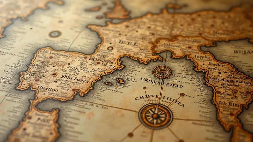
This period also witnessed a significant rise in artistic refinement. Cartographers started incorporating more realistic depictions of terrain and coastlines, utilizing sophisticated engraving techniques. Think of the beautifully rendered portolan charts of the 16th century, renowned for their detail and their emphasis on navigational information. These charts weren't just representations of the world; they were objects of exquisite beauty, often commissioned by wealthy patrons and treasured as family heirlooms. They reflect a growing appreciation for both scientific knowledge and artistic skill.
The 18th and 19th Centuries: Scientific Mapping and National Ambition
The 18th and 19th centuries were characterized by an unprecedented surge in scientific mapping. The Enlightenment ideals of reason and empiricism drove a desire to systematically survey and map the world. The Ordnance Survey in Britain, for example, undertook a massive project to map the entire country with remarkable precision. These maps weren’t just about navigation; they were tools for national planning, resource management, and military strategy. The meticulous detail evident in these maps often reflected a desire not only to understand the land but also to cultivate and control it – an ambition mirrored in the artistic embellishments and carefully chosen representations. Perhaps these maps also contained hidden narratives, revealing overlooked regions or intentionally omitting certain details. Unearthing these forgotten landscapes – those erased or deliberately obscured by cartographers – is akin to tending a The Cartographic Garden: Cultivating a Deeper Appreciation for Old Maps, nurturing a renewed understanding of the world as it once was.
This era also saw the rise of national pride and imperial ambitions, which profoundly influenced mapmaking. Maps were often used to legitimize colonial claims and to portray a particular nation's dominance. The artistic style shifted again, emphasizing clarity and functionality over elaborate ornamentation. Though beauty remained a consideration, it was often subordinate to the needs of the time. The widespread availability of printing technology meant maps became more accessible to the general public, further democratizing access to geographical knowledge.
The Age of Absence and Lost Places
Many maps chart what *was*, but often fail to account for what *isn't*—the places lost to shifting coastlines, natural disasters, or the relentless march of human progress. The disappearance of entire regions—once brimming with life and carefully documented—provides a stark reminder of the impermanence of even the seemingly most solid geographical features. These erased landscapes echo a poignant truth about our world, mirroring a profound sense of loss and a yearning to reconstruct fragments of a bygone era. Examining these lost places, those fading from memory and disappearing from the world's maps, is like delving into The Atlas of Absence: Places Lost to the Shifting Sands of History – an exploration of what remains when the world redraws itself.
Collecting Considerations: Preservation and Appreciation
For a collector, vintage maps are more than just decorative items; they're tangible links to the past, offering unique insights into the history of cartography, technology, and cultural values. Preservation is key. Storing maps in acid-free folders and keeping them away from direct sunlight and humidity can significantly extend their lifespan. Restoration, when necessary, should be undertaken by a qualified professional who understands the delicate nature of antique paper and inks. Attempting DIY repairs can often do more harm than good.
The beauty of collecting isn't just about acquiring rare or valuable pieces. It's about appreciating the artistry, the ingenuity, and the historical significance of these remarkable artifacts. Each map tells a story, a silent narrative of exploration, discovery, and the enduring human quest to understand our place in the world. Holding a 17th-century map, feeling the texture of the paper, tracing the lines drawn by a long-dead hand – that’s a connection to the past that transcends time. That, for me, is the enduring magic of collecting vintage maps.
