Echoes in the Margin: Uncovering Secrets Within Cartographic Annotations
Vintage maps. The very words conjure images of weathered parchment, faded inks, and a romance with the past. We, as collectors, are drawn to the aesthetic beauty, the historical significance, and the sheer artistry of these relics. But beyond the geography depicted, beyond the meticulous hand of the cartographer, lies a hidden layer – the whispered secrets contained within the marginalia, the annotations scribbled by previous owners. These aren't just random marks; they are echoes in the margin, windows into the lives and experiences of those who held these maps before us.
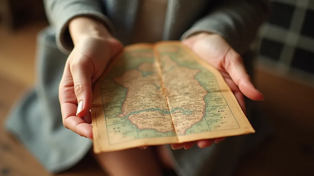
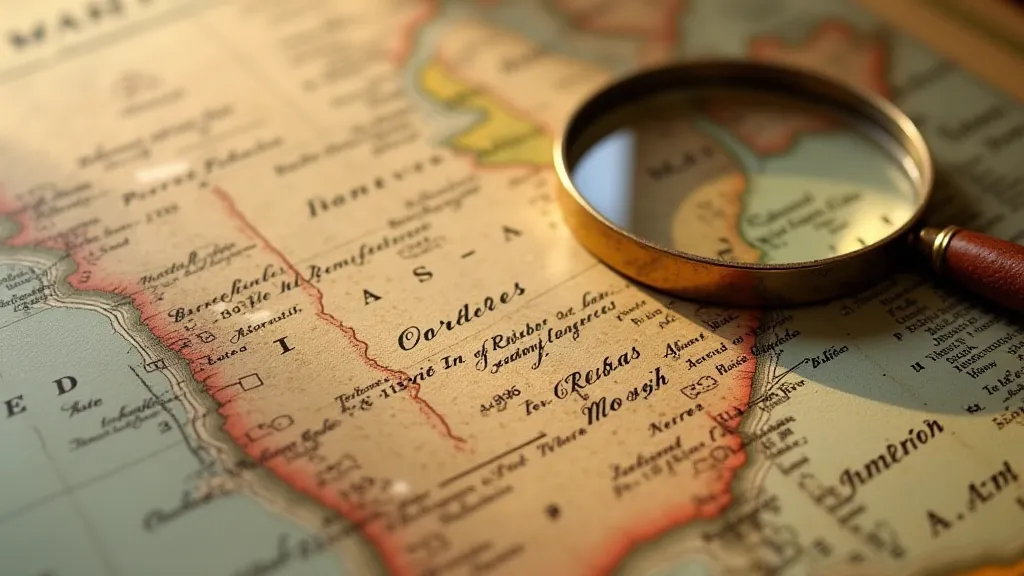
I remember the first time I truly understood the power of these annotations. I’d recently acquired a 17th-century Dutch map of the Baltic Sea, its colours still surprisingly vibrant. It was a visually stunning piece, but it was a small, almost imperceptible notation in the lower right corner, a single word – "Stralsund" – written in a delicate, spidery script, that truly captivated me. It wasn’t a place marked on the map itself; it was an addition, a personal touch. Suddenly, this wasn't just a cartographic document; it was a connection to someone, a merchant perhaps, a sailor, a trader who had travelled those waters. It was a moment of profound realization – the map had lived a life before it came into my hands.
The Cartographer's Hand and the Owner's Mark
Understanding the context of vintage map collecting begins with appreciating the craft itself. Cartography, historically, was an art form as much as a science. Early mapmakers relied on limited information, often gleaned from explorers' journals, sailors’ tales, and previous, often inaccurate, maps. The resulting depictions could be wildly imaginative, reflecting the prevailing beliefs and understanding of the world. Consider the Fra Mauro Map of 1450, a stunningly detailed representation of the known world incorporating fantastical creatures and mythical lands. This was more than just geography; it was a visual narrative of the era. The nuances of these representations, and the evolving artistic principles employed, are a fascinating study; exploring the history of cartography is itself a journey through time. You can delve deeper into the history and artistic evolution of mapmaking by reading about Cartography's Alchemy: Transforming Paper into Portals of the Past.
But even the most precise, scientific maps weren't immune to personal interpretation. Annotations reveal how individuals engaged with this information. These might take the form of simple place names added to clarify locations, route markings used by traders or travelers, or even personal notes recording observations or impressions. A faint pencil sketch of a ship in the Atlantic, for instance, might indicate a particularly harrowing voyage. A circled town with a brief explanation written beside it could be a point of family connection or a place of business. Often, understanding these markings requires a degree of deciphering, as the language of the past can be quite different from what we’re accustomed to today. The symbols and abbreviations used by cartographers, and those added later by owners, can present a delightful challenge to the keen-eyed collector.
Decoding the Language of the Past
The beauty of these annotations lies not only in their existence but also in the challenge of deciphering them. The handwriting itself can be a puzzle – variations in script reflecting personal style, regional dialects, and evolving letter forms. Understanding the historical context is crucial. Place names might have changed over time, making identification difficult. Abbreviations and archaic language can further complicate the process. Sometimes, a seemingly innocuous phrase can reveal a surprising historical fact. For example, a simple notation indicating “duty paid” might provide insight into trade routes and taxation policies of the time. To truly grasp the intricacies of these symbols and the logic behind their use, it's helpful to understand the broader system of cartographic communication. It's a realm of subtle clues and carefully considered conventions, much like a complex code waiting to be unlocked. Many of these markings weren't merely descriptive; they served as navigational guides, shorthand notations, and even personal reminders for the map's owner.
Researching the map's provenance—its history of ownership—can unlock further clues. Genealogical records, historical archives, and even local historical societies can often provide valuable information about previous owners and their connection to the map. Often, a map's annotations provide tantalizing glimpses into the lives of those who used them. A merchant's route, a sailor's fears, a family's history – all captured in a few carefully chosen words. The joy of collecting vintage maps isn’t just in the aesthetic appeal; it’s in the detective work, the piecing together of a narrative from fragmented clues. Sometimes, these narratives speak to larger questions about how we represent the world, and how perceptions of space influence our understanding of ourselves – a theme explored in more detail in The Uncharted Territories Within: Maps of the Human Spirit.
The Subtle Art of Preservation
As collectors, we have a responsibility to preserve these treasures for future generations. The annotations, however fragile, are an integral part of the map's historical record. Harsh cleaning methods should be avoided, as they can damage the delicate paper and fade the ink. Careful storage in acid-free materials is essential. Exposure to sunlight and humidity should be minimized. If restoration is necessary – and it often is – it should be carried out by a qualified conservator experienced in working with antique maps and documents. Maintaining the integrity of these historical documents is paramount, requiring a delicate touch and a deep understanding of the materials used in their creation.
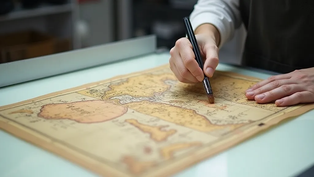
It's a delicate balance. We want to preserve the integrity of the map while ensuring its longevity. A minor repair – a carefully placed patch on a torn edge – can be a small act of stewardship, preventing further deterioration. However, overzealous attempts at restoration can erase valuable historical evidence. The goal is to stabilize the map and protect it from further damage, not to erase its past. Many of the techniques used today build upon centuries of conservation practices, reflecting an ongoing effort to safeguard these invaluable artifacts. The process often requires a blend of scientific knowledge and artistic skill, ensuring that the original character of the map is preserved while protecting it from further decay. The evolution of these conservation practices is itself a testament to the enduring value placed on historical maps.
More Than Just Decoration: Connecting with History
Ultimately, collecting vintage maps is about more than just acquiring beautiful objects. It’s about connecting with history, understanding the world through the eyes of those who came before us, and appreciating the craftsmanship of a bygone era. The annotations on these maps aren’t just marks on paper; they are echoes of voices, whispers from the past, offering a glimpse into the lives and experiences of those who held these maps before us. They transform a cartographic document into a living testament to human history. The way cartographers represented the world, and how individuals interacted with those representations, reflect the prevailing beliefs and values of their time. Each annotation, each alteration, tells a story about the relationship between the mapmaker and the map user, revealing a deeper understanding of their shared world. These visual narratives, preserved in ink and parchment, offer a unique window into the past.
The worn edges, the faded colours, the carefully scripted annotations – they all tell a story. And it is our privilege, as collectors, to listen. The complexities of mapmaking, the evolution of cartographic styles, and the artistry involved in creating these historical documents are all interconnected. Exploring these connections helps us appreciate the true value of vintage maps, not just as decorative objects, but as invaluable historical artifacts. The intricate system of symbols and conventions used by cartographers – many of which reflect complex cultural and geographic understandings – are fascinating in their own right. The influence of our personal sense of place on how we interpret and create maps is also a crucial consideration, and one that is examined in detail within Compass Points of Memory: How Maps Shape Our Sense of Place.
