The Ink of Empires: Unraveling Colonial Legacies Etched on Old Maps
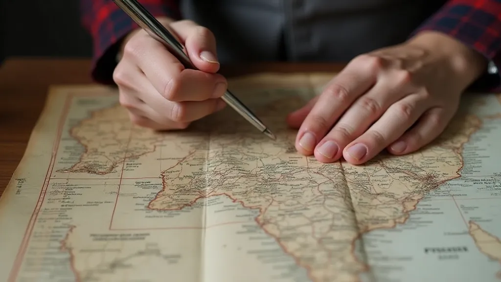
There's a certain weight to holding a vintage map. It’s not just the thickness of the paper, often brittle and yellowed with age. It's the sense of history pressed within the folds, the echoes of voices long silenced, of journeys undertaken, and of power meticulously wielded. I remember the first time I truly felt this weight. I was a boy, rummaging through my grandfather’s attic, and I unearthed a faded, hand-colored map of Africa from the late 1800s. It wasn't particularly valuable, but the meticulous detail, the vibrant hues despite the years, and the sheer presence of it captivated me. It sparked a curiosity that has grown into a lifelong passion for collecting vintage maps – a passion intertwined with a growing awareness of the complex narratives they contain.
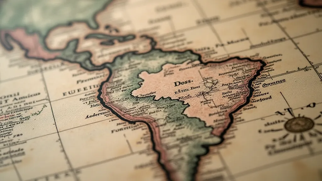
Most of us appreciate vintage maps for their beauty—the exquisite calligraphy, the intricate cartouches, the artistic rendering of landscapes. They’re works of art, testaments to the skill of the engravers and colorists. But beneath that aesthetic appeal lies a powerful and often troubling story – the story of how maps were instrumental in the rise and consolidation of colonial empires. They weren't simply neutral representations of the world; they were tools of conquest, carefully constructed to legitimize and perpetuate colonial power.

The Cartographer as Conqueror
Before the age of detailed satellite imagery and precise GPS coordinates, maps were the primary means of understanding and controlling vast territories. Colonial powers understood this implicitly. Explorers, often employed by trading companies or directly by the crown, were tasked not only with charting coastlines and identifying resources but also with creating maps that reinforced the colonial narrative. These narratives were rarely objective. They served to justify the subjugation of indigenous populations and the exploitation of their lands. It’s fascinating to consider how the very act of representing space – of imposing a grid and labels – shapes our understanding of it. Thinking about the broader concept of representing the unknown, one might also consider the abstract representations found in the uncharted territories within our own minds and the power of imagination in forging new perspectives.
Consider, for instance, the early maps of Australia. Aboriginal people possessed an intricate understanding of the continent’s geography, passed down through generations through oral tradition and intricate songlines. However, these perspectives were systematically ignored. European cartographers, operating within a worldview that prioritized European claims and perspectives, drew maps that often depicted the interior as a vast, unexplored wilderness, ripe for “discovery” and domination. The very act of naming places, of imposing European nomenclature, was a powerful assertion of control. Indigenous place names were often disregarded, effectively erasing the cultural significance and historical connection of the original inhabitants.
Distortions and Omissions: Shaping the Narrative
The distortions weren’t always geographical. They were ideological. Maps routinely omitted details that contradicted the colonial agenda. Areas under the control of rival powers might be misrepresented or simply left blank. The presence or absence of settlements, the portrayal of rivers and mountain ranges, all could be manipulated to create a picture that justified colonial expansion. Consider also how those who create maps inevitably have a perspective - a framework through which they view and represent the world. It’s a process that mirrors how we, as individuals, attempt to make sense of the complex realities surrounding us. The difficulties inherent in representing a three-dimensional world on a two-dimensional plane often led to unavoidable distortions, something explored in greater detail when considering longitude's shadow, which reveals the imperfect truths behind map projections.
Take, for example, the depictions of the “interior” of Africa. Early maps often portrayed vast swathes of the continent as “terra incognita” – unknown lands. This served to conceal the sophisticated civilizations and established trade networks that already existed. It created the illusion of emptiness, justifying the Scramble for Africa and the subsequent partitioning of the continent among European powers. The act of choosing what to include – and, crucially, what to exclude – reveals a subtle yet pervasive bias, a carefully crafted narrative designed to reinforce a particular worldview. This control over representation also speaks to the broader human desire to impose order upon chaos, to create a framework that makes sense of the unknown, a concept that resonates even in the realm of creative expression, akin to how artists seek to portray the complexities of dreams and emotions - a fascinating parallel one might delve into further when considering the geography of dreams and the creative reimagining of maps.
The language used on these maps was equally significant. Terms like “uncivilized” or “savage” were often applied to indigenous populations, reinforcing a hierarchy of cultures that legitimized colonial rule. Even the artistic style employed – the dramatic rendering of landscapes, the emphasis on European settlements – subtly reinforced the narrative of European superiority.
The Craftsmanship: More Than Just Lines on Paper
While acknowledging the problematic history embedded within these maps, it's important to appreciate the skill and artistry involved in their creation. Prior to the advent of lithography and other mechanized printing processes, maps were painstakingly produced by hand. Engravers would meticulously carve designs into copper plates, which were then used to create printing blocks. Colorists would apply pigments to the printed sheets, often using delicate brushwork to achieve remarkable detail and vibrancy.

These were true artisans, their skills passed down through generations. The level of detail achievable was astounding, especially when considering the limitations of the available tools and technologies. The finest maps often incorporate decorative elements – elaborate cartouches, allegorical figures, mythical creatures – that elevate them beyond mere geographical representations into works of art. The limitations imposed by the technology of the time forced a remarkable level of ingenuity and precision, a testament to the human spirit's ability to overcome obstacles and create beauty even within constraints. It prompts reflection on how our own creative processes are shaped by the tools and technologies available to us.
Collecting with a Critical Eye
For the collector of vintage maps, it’s crucial to approach the hobby with a critical eye. Recognizing the historical context, understanding the biases and distortions inherent in these representations, enhances the appreciation for the artistry while providing a deeper understanding of the colonial era. The act of collecting becomes not merely a pursuit of aesthetic beauty, but also a journey of historical investigation.
Authenticity, of course, remains paramount. Examining the paper type, the printing techniques, the ink composition – these are all crucial aspects of authentication. A keen eye for detail and a thorough understanding of cartographic history are invaluable assets for any serious collector. A slight discoloration, an unusual watermark, a subtle variation in the engraving – these seemingly minor details can provide clues to a map’s age, origin, and authenticity. It's a process of deciphering clues, piecing together a story from fragmented evidence – a skill that is becoming increasingly valuable in a world saturated with information and misinformation. Thinking about the challenge of accurately portraying space, one is reminded of how the very concept of representing three-dimensional reality on a two-dimensional plane presents inherent difficulties, forcing compromises and inevitably leading to distortions. The way maps attempt to manage these distortions also gives us insight into how we think about abstract concepts like distance, perspective, and the relationship between the known and the unknown – ideas that are explored in fascinating ways when considering longitude's shadow.
Restoration is a delicate process, and any intervention should be undertaken by experienced professionals using archival-quality materials. The goal is to preserve the map’s integrity while minimizing further deterioration. Over-restoration can significantly diminish a map’s value and historical significance.

Conclusion
The lines and colors on a vintage map are more than just geographical representations; they tell a story of power, perspective, and the human desire to understand and control the world. As we admire the artistry and craftsmanship of these historical artifacts, it's vital to remember the context in which they were created, and the narratives they reinforce. It's a powerful reminder of how even the most seemingly objective representations are shaped by the perspectives of those who create them – a concept that finds echoes in the realm of imaginative creation, like how artists attempt to capture the intangible qualities of dreams and emotions, leading one to ponder how the geography of dreams and the creative reimagining of maps interconnect.


